14 Alexandra Drive, Bootle, L20 0EF
About 14 Alexandra Drive
14 Alexandra Drive is a four-bedroom semi-detached house in Bootle (L20 0EF). It has a recorded floor area of 119 m² (around 1278 sq ft), construction records dating it to 1950-1966 and council tax band C. The latest certificate (May 2010) shows an E (score 47), well below the UK norm with real room to improve. The recommended improvements would push it to D (score 61). The latest certificate is from May 2010, so improvements made since then won't be reflected.
At 119 m² it sits well below the postcode median (213 m² across 18 EPCs), making it one of the more compact homes locally. Today's modelled estimate of £266,000 is 43.8% above the 2014 sale price. On a £-per-square-foot basis, the last sale (£145/sq ft) was about 123.6% above the typical sold price in the postcode. Last sold in July 2014, so it's been off the market for around 12 years.
What this property has
Inside
- Bedrooms4
- Dining roomYes
- CloakroomYes
Outside
- Private gardenYes
- GarageYes
Building
- Heating systemGas
- RefurbishedYes
Everything you need to know about 14 Alexandra Drive
The true value, the hidden risks and the full sale history, in one report.
30-day money-back guarantee

The data behind every report


Energy performance
14 Alexandra Drive's carbon output runs well above what efficient homes in the postcode produce.
EPC Expired
This certificate is over 10 years old and is no longer valid.Expired 07 May 2020
EPC Rating
Planning history
14 Alexandra Drive has no planning applications on record.
The full report still covers planning activity across the surrounding area.
Sales history & valuation
14 Alexandra Drive valuation sits well clear of the typical sold price in this postcode.
£266,000
Modelled from EPC, postcode comparables.
£185,000
Recorded with HM Land Registry.
Sales timeline
24 July 2014Most recent
£185,000
Median price across the last 5 sales in L20 0EF: £230,000 (2025–2016).
Nearby sales in L20 0EF
Versus other Alexandra Drive homes
14 Alexandra Drive outperforms the street on price per m² by a wide margin.
Price per m²
£1,559
Street avg £852
Floor Area
119 m²
Street avg 224 m²
Habitable Rooms
7 rooms
Street avg 8 rooms
CO₂ Emissions
7.7 t/year
Street avg 11.0 t/year
Everything you need to know about 14 Alexandra Drive
The true value, the hidden risks and the full sale history, in one report.
30-day money-back guarantee
The data behind every report
Similar properties nearby
The neighbourhood at a glance
Rail-style transport is unusually close for this postcode.
Crime
7/mo
Rising year-on-year across the wider district.
Nearest stop
0.2 km
Alexandra Drive — bus stop.
Closest school
0.7 km
Springwell Park Community Primary School. 41 schools nearby.
Go deeper on the local area
The full report breaks down crime, transport links, schools and air quality in depth.
Road noise across the postcode
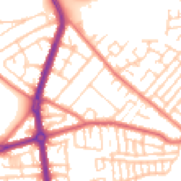
Daytime· 07:00 – 23:00
53.1dB

Night-time· 23:00 – 07:00
42.5dB