44 Alexandra Drive, Bootle, L20 0EF
About 44 Alexandra Drive
44 Alexandra Drive is a five-bedroom detached house in Bootle (L20 0EF). It has a recorded floor area of 258 m² (around 2777 sq ft), construction records dating it to 1900-1929 and council tax band D. The latest certificate (April 2016) shows an F (score 38), near the bottom of the EPC scale. The recommended improvements would lift it to D (score 67), a 2-band jump. The latest certificate is from April 2016, so improvements made since then won't be reflected.
At 258 m² it's 24.3% larger than the typical home in the postcode (208 m² median across 18 EPCs). On energy efficiency it sits in the bottom 10% of properties in this postcode — significant headroom for improvement. 5 bedrooms is on the larger side for this postcode, where 3 is the typical count. Most recent transfer was September 2025 at £365,000 — fresh data. Across 2006–2025, sale prices on this property compounded at 1.4% per year. On a £-per-square-foot basis, the last sale (£131/sq ft) was about 103.7% above the typical sold price in the postcode.
What this property has
Inside
- Bedrooms5
- Bathrooms3
Everything you need to know about 44 Alexandra Drive
The true value, the hidden risks and the full sale history, in one report.
30-day money-back guarantee

The data behind every report


Energy performance
44 Alexandra Drive sits at the bottom of the postcode for energy efficiency — meaningful headroom to improve.
EPC Expired
This certificate is over 10 years old and is no longer valid.Expired 17 Apr 2026
EPC Rating
Planning history
44 Alexandra Drive has no planning applications on record.
The full report still covers planning activity across the surrounding area.
Sales history & valuation
Latest sale on 44 Alexandra Drive was the highest on Land Registry record across the postcode.
£385,000
Modelled from EPC, postcode comparables and a sale-price growth of 1.4% per year over 19 years.
£365,000
Growth on file: 1.4% per year over 19 years.
Sales timeline
21 September 2025Most recent
£365,000
+30.4%over 19 years19 July 2006
£280,000
Median price across the last 5 sales in L20 0EF: £210,000 (2025–2014).
Nearby sales in L20 0EF
Versus other Alexandra Drive homes
Years Held for 44 Alexandra Drive lags the street by a wide margin.
Price per m²
£1,415
Street avg £864
Floor Area
258 m²
Street avg 214 m²
Habitable Rooms
8 rooms
Street avg 7 rooms
CO₂ Emissions
16.0 t/year
Street avg 10.4 t/year
Everything you need to know about 44 Alexandra Drive
The true value, the hidden risks and the full sale history, in one report.
30-day money-back guarantee
The data behind every report
Similar properties nearby
The neighbourhood at a glance
Rail-style transport is unusually close for this postcode.
Crime
7/mo
Rising year-on-year across the wider district.
Nearest stop
0.2 km
Alexandra Drive — bus stop.
Closest school
0.7 km
Springwell Park Community Primary School. 41 schools nearby.
Go deeper on the local area
The full report breaks down crime, transport links, schools and air quality in depth.
Road noise across the postcode
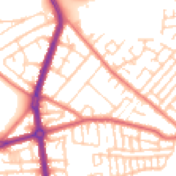
Daytime· 07:00 – 23:00
53.1dB

Night-time· 23:00 – 07:00
42.5dB