21 Alexandra Drive, Bootle, L20 0EE
About 21 Alexandra Drive
21 Alexandra Drive is a three-bedroom semi-detached house in Bootle (L20 0EE). It has a recorded floor area of 101 m² (around 1086 sq ft), construction records dating it to 1930-1949 and council tax band B. The latest certificate (November 2008) shows a D (score 63), on the cusp of jumping into the C band. The recommended improvements would push it to C (score 71). The latest certificate is from November 2008, so improvements made since then won't be reflected. Other recorded features include a conservatory. Period features are noted in the property record.
Untraded for 20 years, with the last transfer in September 2006. Today's modelled estimate of £162,000 sits 62% above the 2006 sale of £100,000. One historical planning record sits against the property in 2021.
What this property has
Inside
- Bedrooms3
- Dining roomYes
- ConservatoryYes
Outside
- Private gardenRear
- GarageYes
Building
- Heating systemGas
- Period featuresYes
Everything you need to know about 21 Alexandra Drive
The true value, the hidden risks and the full sale history, in one report.
30-day money-back guarantee

The data behind every report


Energy performance
21 Alexandra Drive's EPC is over a decade old — improvements since won't be reflected.
EPC Expired
This certificate is over 10 years old and is no longer valid.Expired 20 Nov 2018
EPC Rating
Planning history
- Apr 2021OutbuildingFullIn report
Erection of an outbuilding in the rear garden of the dwellinghouse (Retrospective)
- Agent
- A2 Architects
Retrospective- Documents
- 7 docs on file
- Reference
- DC/2020/01689
What's in 21 Alexandra Drive, Bootle, L20 0EE's planning history?
Refusals, disputes and full decisions on this property and nearby, in the report.
Sales history & valuation
£162,000
Modelled from EPC, postcode comparables.
£100,000
Recorded with HM Land Registry.
Sales timeline
28 September 2006Most recent
£100,000
Median price across the last 5 sales in L20 0EE: £175,000 (2023–2021).
Nearby sales in L20 0EE
Versus other Alexandra Drive homes
Habitable Rooms for 21 Alexandra Drive lags the street by a wide margin.
Price per m²
£991
Street avg £1,440
Floor Area
101 m²
Street avg 147 m²
Habitable Rooms
4 rooms
Street avg 7 rooms
CO₂ Emissions
5.0 t/year
Street avg 7.9 t/year
Everything you need to know about 21 Alexandra Drive
The true value, the hidden risks and the full sale history, in one report.
30-day money-back guarantee
The data behind every report
Similar properties nearby
The neighbourhood at a glance
Rail-style transport is unusually close for this postcode.
Crime
7/mo
Rising year-on-year across the wider district.
Nearest stop
0.2 km
Alexandra Drive — bus stop.
Closest school
0.7 km
Springwell Park Community Primary School. 41 schools nearby.
Go deeper on the local area
The full report breaks down crime, transport links, schools and air quality in depth.
Road noise across the postcode
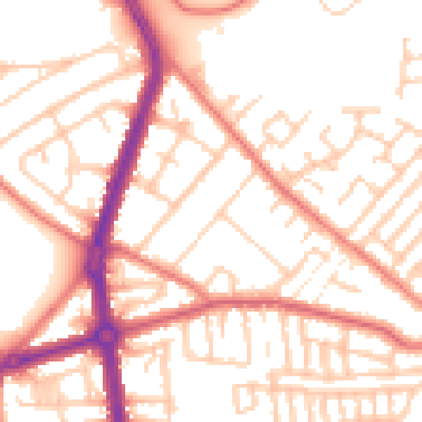
Daytime· 07:00 – 23:00
53.1dB

Night-time· 23:00 – 07:00
42.6dB