1 Birch Grove, Wavertree, Liverpool, L15 8AF
About 1 Birch Grove
1 Birch Grove is a property in Wavertree, Liverpool, Liverpool (L15 8AF). It has council tax band B.
4 planning records sit against the property, 2 approved, 2 refused. Past consents include tree works, meaningful when judging how the property has evolved.
Energy performance
No EPC on record
This property doesn't have an Energy Performance Certificate yet. An EPC is required to sell or let — and unlocks our automated valuation.
Planning history
- Aug 2012Tree WorksTreesIn report
To carry out treeworks
- Documents
- 8 docs on file
- Reference
- 12T/1864
- Jul 2012Tree WorksTreesIn report
To carry out tree works.
- Documents
- 3 docs on file
- Reference
- 12T/1249
Sales history & valuation
No sales recorded with HM Land Registry
That can mean the property has never traded since the registry began publishing in 1995, was a new build that hasn't been registered yet, or is held in the same hands long-term.
Median price across the last 5 sales in L15 8AF: £79,950 (2019–2002).
Similar properties nearby
1 Abbeygate Apartments, Wavertree Gardens
L15 8HB
1 Abbeymill Court, Wavertree
L15 8GL
1 Albert Grove, Wavertree
L15 8HR
1 Alma Terrace
L15 8JA
1 Arnold Grove
L15 8HP
1 Chestnut Grove, Wavertree
L15 8HS
1 Crawford Drive
L15 8AE
1 Davenham Court
L15 8GD
The neighbourhood at a glance
Rail-style transport is unusually close for this postcode.
Crime
6/mo
Rising year-on-year across the wider district.
Nearest stop
0.1 km
Waldgrave Road — bus stop.
Closest school
0.4 km
King's Northway Primary Academy. 59 schools nearby.
Road noise across the postcode
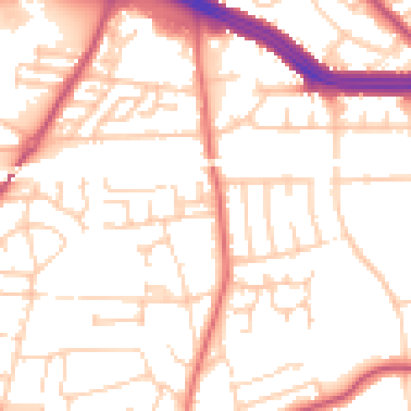
Daytime· 07:00 – 23:00
52.5dB

Night-time· 23:00 – 07:00
42.4dB