4 Charnley Drive, Wavertree, Liverpool, L15 6WB
About 4 Charnley Drive
4 Charnley Drive is a five-bedroom property in Wavertree, Liverpool, Liverpool (L15 6WB). It has council tax band E. Records show the property has been extended at some point in its history.
On the market in May 2018 and unlisted since — roughly 8 years. Across 2007–2018, sale prices on this property compounded at 0.6% per year.
Know exactly what you're buying at 4 Charnley Drive
Before you offer, see what the listing won't tell you, the true value, the red flags and the full history.
Valuation
against the asking price
Risks
planning & flood
Sold prices
similar homes nearby
Trends
the local market
What this property has
Inside
- Bedrooms5
- Bathrooms3
- Dining roomYes
- Utility roomYes
- EnsuiteYes
Outside
- Private gardenYes
- GarageYes
Building
- Previously extendedYes
Energy performance
No EPC on record
This property doesn't have an Energy Performance Certificate yet. An EPC is required to sell or let — and unlocks our automated valuation.
Planning history
4 Charnley Drive has no planning applications on record.
The full report still covers planning activity across the surrounding area.
Sales history & valuation
4 Charnley Drive's sale-price growth has lagged the wider UK trajectory across its history on file.
£267,500
Growth on file: 0.6% per year over 11 years.
Sales timeline
10 May 2018Most recent
£267,500
+7.0%over 10 years14 May 2007
£250,000
Median price across the last 5 sales in L15 6WB: £249,950 (2009–2007).
Nearby sales in L15 6WB
6 Charnley Drive, Wavertree, Liverpool, L15 6WB
Sold Nov 2009
£222,50012 Charnley Drive, Wavertree, Liverpool, L15 6WB
Sold Feb 2007
£245,95014 Charnley Drive, Wavertree, Liverpool, L15 6WB
Sold Feb 2007
£269,95016 Charnley Drive, Wavertree, Liverpool, L15 6WB
Sold Dec 2006
£275,00010 Charnley Drive, Wavertree, Liverpool, L15 6WB
Sold Dec 2006
£275,000
Everything we know about 4 Charnley Drive, in one report
What it's really worth, what could be wrong, and the planning, sales and area data in full.
- Am I paying too much?
- Is something wrong with it?
- Is the agent's story true?
- Will it hold its value?

Similar properties nearby
10 Charnley Drive, Wavertree
L15 6WB
10 Epping Grove
L15 6XP
10 Dunbabin Road
L15 6XN
10 Beauclair Drive
L15 6XG
1 Alice Close
L15 6WT
10 Brereton Avenue
L15 6TJ
1 Dunbabin Road
L15 6XJ
1 Wavertree Green
L15 6TA
The neighbourhood at a glance
Rail-style transport is unusually close for this postcode.
Crime
6/mo
Rising year-on-year across the wider district.
Nearest stop
0.1 km
Charnley Drive — bus stop.
Closest school
0.1 km
Christ The King Catholic Primary School. 50 schools nearby.
Go deeper on the local area
The full report breaks down crime, transport links, schools and air quality in depth.
Road noise across the postcode
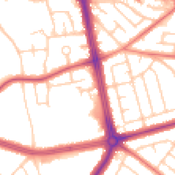
Daytime· 07:00 – 23:00
52.8dB

Night-time· 23:00 – 07:00
43.6dB