14 Charnley Drive, Wavertree, Liverpool, L15 6WB
About 14 Charnley Drive
14 Charnley Drive is a three-bedroom mid-terrace house in Wavertree, Liverpool, Liverpool (L15 6WB). It has a recorded floor area of 132 m² (around 1421 sq ft), construction records dating it to 2003-2006 and council tax band D. The latest certificate (August 2012) shows a C (score 79), near the top of the C band. The recommended improvements would push it to B (score 88). The latest certificate is from August 2012, so improvements made since then won't be reflected.
Held since February 2007 — that's 19 years off the open market, well above the local norm. That sale landed at the peak of the pre-credit-crunch market, which is a useful reference point when interpreting the price. Across 2007–2007, sale prices on this property compounded at 8% per year. Today's modelled estimate of £317,000 is 17.4% above the 2007 sale price.
Know exactly what you're buying at 14 Charnley Drive
Before you offer, see what the listing won't tell you, the true value, the red flags and the full history.
Valuation
against the asking price
Risks
planning & flood
Sold prices
similar homes nearby
Trends
the local market
What this property has
Inside
- Bedrooms3
- Bathrooms3
- Dining roomYes
- Utility roomYes
- CloakroomYes
- EnsuiteYes
Outside
- GarageYes
Building
- Central heatingYes
Energy performance
14 Charnley Drive's EPC is over a decade old — improvements since won't be reflected.
EPC Expired
This certificate is over 10 years old and is no longer valid.Expired 05 Aug 2022
EPC Rating
Planning history
14 Charnley Drive has no planning applications on record.
The full report still covers planning activity across the surrounding area.
Sales history & valuation
14 Charnley Drive changed hands twice within eighteen months — unusual for the area.
£317,000
Modelled from EPC, postcode comparables and a sale-price growth of 8.0% per year over 1 year.
£269,950
Growth on file: 8.0% per year over 1 year.
Sales timeline
7 February 2007Most recent
£269,950
+8.0%5 January 2007
£249,950
Median price across the last 5 sales in L15 6WB: £249,950 (2018–2007).
Nearby sales in L15 6WB
4 Charnley Drive, Wavertree, Liverpool, L15 6WB
Sold May 2018
£267,5006 Charnley Drive, Wavertree, Liverpool, L15 6WB
Sold Nov 2009
£222,50012 Charnley Drive, Wavertree, Liverpool, L15 6WB
Sold Feb 2007
£245,95016 Charnley Drive, Wavertree, Liverpool, L15 6WB
Sold Dec 2006
£275,00010 Charnley Drive, Wavertree, Liverpool, L15 6WB
Sold Dec 2006
£275,000
Everything we know about 14 Charnley Drive, in one report
What it's really worth, what could be wrong, and the planning, sales and area data in full.
- Am I paying too much?
- Is something wrong with it?
- Is the agent's story true?
- Will it hold its value?

Versus other Charnley Drive homes
CO₂ Emissions for 14 Charnley Drive runs comfortably ahead of the street norm.
Price per m²
£2,045
Street avg £1,979
Floor Area
132 m²
Street avg 134 m²
Habitable Rooms
6 rooms
Street avg 7 rooms
CO₂ Emissions
2.7 t/year
Street avg 4.0 t/year
Similar properties nearby
The neighbourhood at a glance
Rail-style transport is unusually close for this postcode.
Crime
6/mo
Rising year-on-year across the wider district.
Nearest stop
0.1 km
Charnley Drive — bus stop.
Closest school
0.1 km
Christ The King Catholic Primary School. 50 schools nearby.
Go deeper on the local area
The full report breaks down crime, transport links, schools and air quality in depth.
Road noise across the postcode
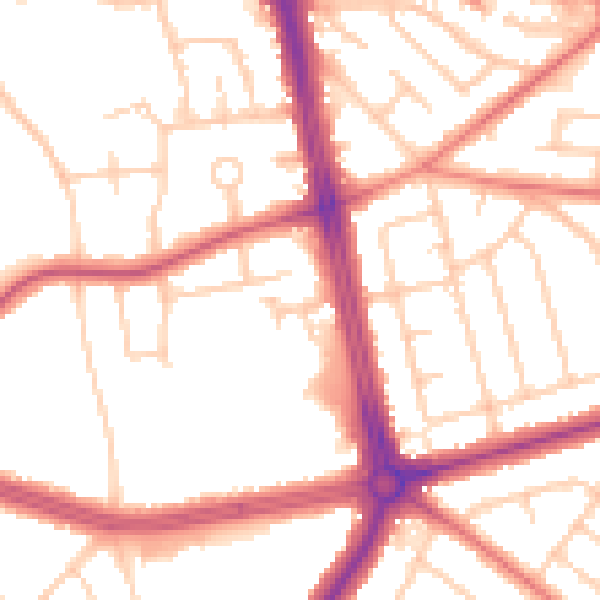
Daytime· 07:00 – 23:00
52.8dB

Night-time· 23:00 – 07:00
43.6dB