9 Churchdown Road, Liverpool, L14 7PE
About 9 Churchdown Road
9 Churchdown Road is a semi-detached house in Liverpool (L14 7PE). It has a recorded floor area of 71 m² (around 764 sq ft), construction records dating it to 1930-1949 and council tax band A. The latest certificate (November 2019) shows a D (score 68), on the cusp of jumping into the C band. The rating has held steady at D across 2 certificates since December 2008. Between certificates, wall efficiency went from Poor to Average. The recommended improvements would lift it to B (score 84), a 2-band jump.
Across 1996–2019, sale prices on this property compounded at 4.9% per year. Today's modelled estimate of £128,000 sits 50.6% above the 2019 sale of £85,000. Most recent transfer: November 2019 at £85,000. Across the public record there are 4 sales, relatively high churn for a single property.
Everything you need to know about 9 Churchdown Road
The true value, the hidden risks and the full sale history, in one report.
Pick your report · every report is £14.99
One time fee only - money back guarantee

The data behind every report


Energy performance
Recommended upgrades on file would lift this property by multiple EPC bands.
EPC Rating
Property Improvements
Changes detected from historical EPC data
Cavity wall insulation installed
Loft insulation upgraded to recommended levels
Get a survey for this property
Level 2 HomeBuyer Report
We've checked 10 risk factors against the available data for this property and believe a Level 2 HomeBuyer Report could be a suitable option for you.
From £495 · Includes VAT
Planning history
9 Churchdown Road has no planning applications on record.
A planning report still maps activity across the surrounding area and reads this property's extension & conversion potential.
Sales history & valuation
9 Churchdown Road has more than tripled in price since its earliest registered sale in 1996.
£128,000
Modelled from EPC, postcode comparables and a sale-price growth of 4.9% per year over 24 years.
£85,000
Growth on file: 4.9% per year over 24 years.
Sales timeline
21 November 2019Most recent
£85,000
+28.8%over 10 years13 August 2009
£66,000
+53.5%over 5 years28 August 2003
£43,000
+59.3%over 7 years16 February 1996
£27,000
Median price across the last 5 sales in L14 7PE: £102,000 (2025–2019).
Nearby sales in L14 7PE
Versus other Churchdown Road homes
Price per m²
£1,197
Street avg £1,254
Floor Area
71 m²
Street avg 73 m²
Habitable Rooms
4 rooms
Street avg 4 rooms
CO₂ Emissions
2.8 t/year
Street avg 3.1 t/year
Everything you need to know about 9 Churchdown Road
The true value, the hidden risks and the full sale history, in one report.
Pick your report · every report is £14.99
One time fee only - money back guarantee
The data behind every report
Similar properties nearby
1 Lodge Court, Berrydale Road
L14 7AL
1 Pilch Lane
L14 7QA
1 Montvale House, Priorswood Grove
L14 7AX
1 Eton House, Marwood Road
L14 7AY
1 Ivor House, Friars Way
L14 7BA
1 Gordon Drive, Dovecot
L14 7PU
1 Swanside Avenue
L14 7NP
1 Coronation Drive, Knotty Ash
L14 7NT
The neighbourhood at a glance
Reported crime in the wider district is trending notably upward year-on-year.
Crime
6/mo
Rising year-on-year across the wider district.
Nearest stop
0.1 km
Gala Close — bus stop.
Closest school
0.5 km
Knotty Ash Primary School. 44 schools nearby.
Go deeper on the local area
A Local Area report breaks down crime, transport links, schools and air quality in depth.
Road noise across the postcode
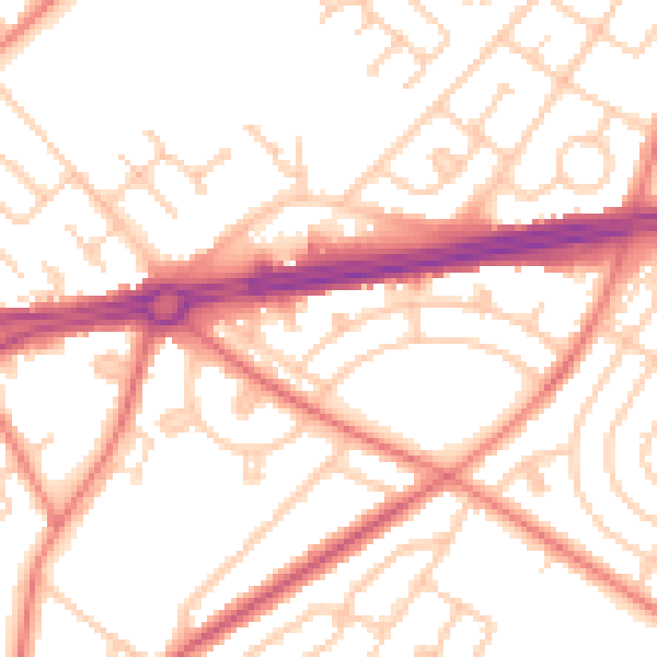
Daytime· 07:00 – 23:00
52.5dB

Night-time· 23:00 – 07:00
42.0dB