5 Holly Bank Avenue, Liverpool, L14 7AG
About 5 Holly Bank Avenue
5 Holly Bank Avenue is a detached house in Liverpool (L14 7AG). It has a recorded floor area of 109 m² (around 1173 sq ft). The latest certificate (August 2015) returns a B (score 84), comfortably above the UK average. The recommended improvements would push it to A (score 94). The latest certificate is from August 2015, so improvements made since then won't be reflected.
Last changed hands 10 years ago, in December 2015. Today's modelled estimate of £384,000 is 46% above the 2015 sale price.
Everything you need to know about 5 Holly Bank Avenue
The true value, the hidden risks and the full sale history, in one report.
Pick your report · every report is £14.99
One time fee only - money back guarantee

The data behind every report


Energy performance
EPC Expired
This certificate is over 10 years old and is no longer valid.Expired 27 Aug 2025
EPC Rating
Get a survey for this property
Level 2 HomeBuyer Report
We've checked 10 risk factors against the available data for this property and believe a Level 2 HomeBuyer Report could be a suitable option for you.
From £595 · Includes VAT
Planning history
5 Holly Bank Avenue has no planning applications on record.
A planning report still maps activity across the surrounding area and reads this property's extension & conversion potential.
Sales history & valuation
£384,000
Modelled from EPC, postcode comparables.
£262,995
Recorded with HM Land Registry.
Sales timeline
14 December 2015Most recent
£262,995
Median price across the last 5 sales in L14 7AG: £365,000 (2025–2020).
Nearby sales in L14 7AG
41 Holly Bank Avenue, Liverpool, L14 7AG
Sold Mar 2025
£430,00043 Holly Bank Avenue, Liverpool, L14 7AG
Sold Oct 2024
£365,00019 Holly Bank Avenue, Liverpool, L14 7AG
Sold Feb 2023
£302,0001 Holly Bank Avenue, Liverpool, L14 7AG
Sold Dec 2021
£325,00053 Holly Bank Avenue, Liverpool, L14 7AG
Sold Dec 2020
£381,000
Versus other Holly Bank Avenue homes
5 Holly Bank Avenue outperforms the street on co₂ emissions by a wide margin.
Price per m²
£2,413
Street avg £2,639
Floor Area
109 m²
Street avg 121 m²
CO₂ Emissions
1.6 t/year
Street avg 1.9 t/year
Years Held
10 years
Street avg 8 years
Everything you need to know about 5 Holly Bank Avenue
The true value, the hidden risks and the full sale history, in one report.
Pick your report · every report is £14.99
One time fee only - money back guarantee
The data behind every report
Similar properties nearby
The neighbourhood at a glance
Rail-style transport is unusually close for this postcode.
Crime
6/mo
Rising year-on-year across the wider district.
Nearest stop
0.1 km
Evington Drive — bus stop.
Closest school
0.6 km
Malvern Primary School. 50 schools nearby.
Go deeper on the local area
A Local Area report breaks down crime, transport links, schools and air quality in depth.
Road noise across the postcode
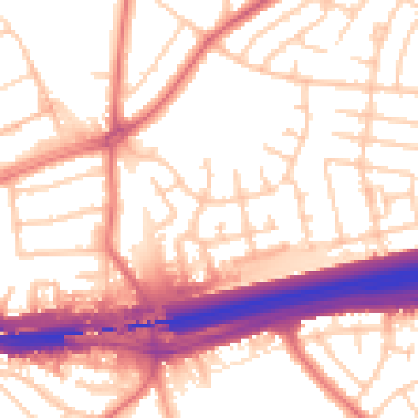
Daytime· 07:00 – 23:00
55.6dB

Night-time· 23:00 – 07:00
46.5dB