2 Leyfield Way, Liverpool, L14 7AE
About 2 Leyfield Way
2 Leyfield Way is a semi-detached house in Liverpool (L14 7AE). It has a recorded floor area of 88 m² (around 947 sq ft) and council tax band C. The latest certificate (February 2013) returns a B (score 83), comfortably above the UK average. The latest certificate is from February 2013, so improvements made since then won't be reflected.
On the market in March 2013 and unlisted since — roughly 13 years. Today's modelled estimate of £219,000 is 21.7% above the 2013 sale price.
Everything you need to know about 2 Leyfield Way
The true value, the hidden risks and the full sale history, in one report.
Pick your report · every report is £14.99
One time fee only - money back guarantee

The data behind every report


Energy performance
2 Leyfield Way's carbon output is low for the local stock.
EPC Expired
This certificate is over 10 years old and is no longer valid.Expired 06 Feb 2023
EPC Rating
Get a survey for this property
Level 2 HomeBuyer Report
We've checked 10 risk factors against the available data for this property and believe a Level 2 HomeBuyer Report could be a suitable option for you.
From £545 · Includes VAT
Planning history
2 Leyfield Way has no planning applications on record.
A planning report still maps activity across the surrounding area and reads this property's extension & conversion potential.
Sales history & valuation
£219,000
Modelled from EPC, postcode comparables.
£179,995
Recorded with HM Land Registry.
Sales timeline
25 March 2013Most recent
£179,995
Median price across the last 4 sales in L14 7AE: £212,495 (2013–2013).
Versus other Leyfield Way homes
Price per m² for 2 Leyfield Way lags the street by a wide margin.
Price per m²
£2,045
Street avg £2,126
Floor Area
88 m²
Street avg 99 m²
CO₂ Emissions
1.4 t/year
Street avg 1.7 t/year
Years Held
13 years
Street avg 13 years
Everything you need to know about 2 Leyfield Way
The true value, the hidden risks and the full sale history, in one report.
Pick your report · every report is £14.99
One time fee only - money back guarantee
The data behind every report
Similar properties nearby
1 Swanside Avenue
L14 7NP
1 Gordon Drive, Dovecot
L14 7PU
1 Coronation Drive, Knotty Ash
L14 7NT
1 Coronation Avenue, Knotty Ash
L14 7NS
1 Oakvale Road
L14 7AP
1 Ivor House, Friars Way
L14 7BA
1 Eton House, Marwood Road
L14 7AY
1 Montvale House, Priorswood Grove
L14 7AX
The neighbourhood at a glance
Rail-style transport is unusually close for this postcode.
Crime
6/mo
Rising year-on-year across the wider district.
Nearest stop
0.1 km
Ashfield Way — bus stop.
Closest school
0.5 km
Malvern Primary School. 49 schools nearby.
Go deeper on the local area
A Local Area report breaks down crime, transport links, schools and air quality in depth.
Road noise across the postcode
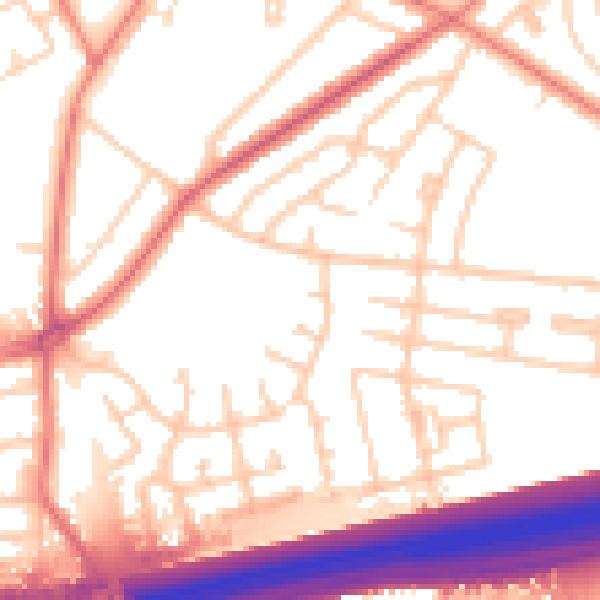
Daytime· 07:00 – 23:00
54.4dB

Night-time· 23:00 – 07:00
45.0dB