11 Greystone Road, Broadgreen, Liverpool, L14 6UD
About 11 Greystone Road
11 Greystone Road is a semi-detached house in Broadgreen, Liverpool, Liverpool (L14 6UD). It has a recorded floor area of 87 m² (around 936 sq ft), construction records dating it to 1930-1949 and council tax band B. The latest certificate (May 2022) shows a D (score 63), on the cusp of jumping into the C band. The recommended improvements would lift it to B (score 86), a 2-band jump.
At 87 m² it's 26.1% larger than the typical home in the postcode (69 m² median across 19 EPCs).
Everything you need to know about 11 Greystone Road
The true value, the hidden risks and the full sale history, in one report.
Pick your report · every report is £14.99
One time fee only - money back guarantee

The data behind every report


Energy performance
Recommended upgrades on file would lift this property by multiple EPC bands.
EPC Rating
Get a survey for this property
Level 3 Building Survey
Because the property has solid (non-cavity) walls, we believe a Level 3 building survey should be considered.
From £820 · Includes VAT
Planning history
11 Greystone Road has no planning applications on record.
A planning report still maps activity across the surrounding area and reads this property's extension & conversion potential.
Sales history & valuation
11 Greystone Road has no Land Registry sales on file, suggesting it has stayed in the same hands since registration began.
£199,000
Modelled from EPC, postcode comparables.
No sales recorded with HM Land Registry
That can mean the property has never traded since the registry began publishing in 1995, was a new build that hasn't been registered yet, or is held in the same hands long-term.
Median price across the last 5 sales in L14 6UD: £203,000 (2024–2022).
Nearby sales in L14 6UD
5 Greystone Road, Broadgreen, Liverpool, L14 6UD
Sold Aug 2024
£220,0001 Greystone Road, Broadgreen, Liverpool, L14 6UD
Sold Nov 2023
£190,0009 Greystone Road, Broadgreen, Liverpool, L14 6UD
Sold Oct 2023
£220,00011a, Greystone Road, Broadgreen, Liverpool, L14 6UD
Sold Sept 2022
£203,00041 Greystone Road, Broadgreen, Liverpool, L14 6UD
Sold May 2022
£190,000
Versus other Greystone Road homes
Floor Area for 11 Greystone Road runs comfortably ahead of the street norm.
EPC Rating
63 (D)
Street avg 55 (E)
Floor Area
87 m²
Street avg 75 m²
CO₂ Emissions
3.9 t/year
Street avg 4.5 t/year
Habitable Rooms
4 rooms
Street avg 4 rooms
Everything you need to know about 11 Greystone Road
The true value, the hidden risks and the full sale history, in one report.
Pick your report · every report is £14.99
One time fee only - money back guarantee
The data behind every report
Similar properties nearby
10 Malvern Crescent
L14 6TP
10 Greystone Road, Broadgreen
L14 6UG
1 Greystone Road, Broadgreen
L14 6UD
1 Penrose Avenue West
L14 6UT
1 Ringwood Avenue
L14 6TH
1 Westfield Avenue
L14 6UY
1 Penrose Avenue East
L14 6UU
1 Regent Avenue
L14 6UL
The neighbourhood at a glance
Reported crime in the wider district is trending notably upward year-on-year.
Crime
6/mo
Rising year-on-year across the wider district.
Nearest stop
0.2 km
Holly Bank Avenue — bus stop.
Closest school
0.2 km
St Margaret Mary's Catholic Junior School. 48 schools nearby.
Go deeper on the local area
A Local Area report breaks down crime, transport links, schools and air quality in depth.
Road noise across the postcode
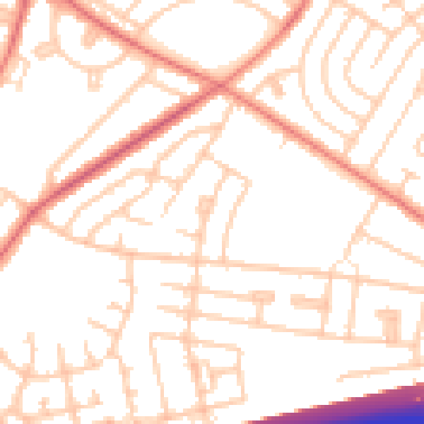
Daytime· 07:00 – 23:00
51.9dB

Night-time· 23:00 – 07:00
41.5dB