43 Kingsheath Avenue, Liverpool, L14 2DG
About 43 Kingsheath Avenue
43 Kingsheath Avenue is a mid-terrace house in Liverpool (L14 2DG). It has a recorded floor area of 74 m² (around 797 sq ft), construction records dating it to 1930-1949 and council tax band A. The latest certificate (January 2017) shows a D (score 56), a step below the typical UK home. The rating has held steady at D across 2 certificates since April 2014. Between certificates, lighting dropped from Very Good to Average. The recommended improvements would lift it to B (score 87), a 2-band jump.
Held since June 2004 — that's 22 years off the open market, well above the local norm. Today's modelled estimate of £130,000 sits 79.3% above the 2004 sale of £72,500. It lags the bulk of the postcode on energy efficiency (less efficient than 75% of similar EPCs).
Everything you need to know about 43 Kingsheath Avenue
The true value, the hidden risks and the full sale history, in one report.
Pick your report · every report is £14.99
One time fee only - money back guarantee

The data behind every report


Energy performance
Recommended upgrades on file would lift this property by multiple EPC bands.
EPC Rating
Get a survey for this property
Level 2 HomeBuyer Report
We've checked 10 risk factors against the available data for this property and believe a Level 2 HomeBuyer Report could be a suitable option for you.
From £495 · Includes VAT
Planning history
43 Kingsheath Avenue has no planning applications on record.
But the area is active
1 notable application nearby — larger schemes and conversions that could reshape the street. The report maps them all.
Sales history & valuation
43 Kingsheath Avenue valuation sits well clear of the typical sold price in this postcode.
£130,000
Modelled from EPC, postcode comparables.
£72,500
Recorded with HM Land Registry.
Sales timeline
17 June 2004Most recent
£72,500
Median price across the last 5 sales in L14 2DG: £97,000 (2024–2022).
Nearby sales in L14 2DG
91 Kingsheath Avenue, Liverpool, L14 2DG
Sold Aug 2024
£67,00021 Kingsheath Avenue, Liverpool, L14 2DG
Sold May 2024
£130,00069 Kingsheath Avenue, Liverpool, L14 2DG
Sold Jan 2024
£88,00067 Kingsheath Avenue, Liverpool, L14 2DG
Sold Jun 2023
£104,20087 Kingsheath Avenue, Liverpool, L14 2DG
Sold Dec 2022
£97,000
Versus other Kingsheath Avenue homes
CO₂ Emissions for 43 Kingsheath Avenue lags the street by a wide margin.
Price per m²
£980
Street avg £1,133
Floor Area
74 m²
Street avg 74 m²
Habitable Rooms
5 rooms
Street avg 5 rooms
CO₂ Emissions
4.0 t/year
Street avg 2.6 t/year
Everything you need to know about 43 Kingsheath Avenue
The true value, the hidden risks and the full sale history, in one report.
Pick your report · every report is £14.99
One time fee only - money back guarantee
The data behind every report
Similar properties nearby
The neighbourhood at a glance
Reported crime in the wider district is trending notably upward year-on-year.
Crime
6/mo
Rising year-on-year across the wider district.
Nearest stop
0.2 km
Ackers Hall Avenue — bus stop.
Closest school
0.3 km
Blueberry Park. 42 schools nearby.
Go deeper on the local area
A Local Area report breaks down crime, transport links, schools and air quality in depth.
Road noise across the postcode
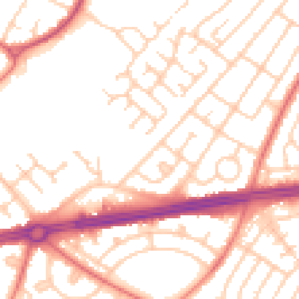
Daytime· 07:00 – 23:00
52.4dB

Night-time· 23:00 – 07:00
41.7dB