10 The Beechwalk, Liverpool, L14 1QN
About 10 The Beechwalk
10 The Beechwalk is a semi-detached house in Liverpool (L14 1QN). It has a recorded floor area of 120 m² (around 1296 sq ft), construction records dating it to 1900-1929 and council tax band C. The latest certificate (July 2011) shows a G (score 1), near the bottom of the EPC scale. Main heating runs on to be used only when there is no heating/hot. The latest certificate is from July 2011, so improvements made since then won't be reflected.
At 120 m² the property is well over the postcode median (86 m² across 16 EPCs), placing it in the larger end of the local stock. On energy efficiency it sits in the bottom 10% of properties in this postcode — significant headroom for improvement. One planning record on file: an extension approved in 2012. Past consents include an extension, meaningful when judging how the property has evolved.
Everything you need to know about 10 The Beechwalk
The true value, the hidden risks and the full sale history, in one report.
Pick your report · every report is £14.99
One time fee only - money back guarantee

The data behind every report


Energy performance
10 The Beechwalk sits at the bottom of the postcode for energy efficiency — meaningful headroom to improve.
EPC Expired
This certificate is over 10 years old and is no longer valid.Expired 09 Jul 2021
EPC Rating
Get a survey for this property
Level 3 Building Survey
Because the property was built before 1919 and has solid (non-cavity) walls, we believe a Level 3 building survey should be considered.
From £820 · Includes VAT
Planning history
1 application on record at 10 The Beechwalk, Liverpool, L14 1QN
- Jun 2012ExtensionFullOutcome in report
Extension: Side and rear of property
To erect two storey extension to the side and single storey extension to the rear.
- Documents
- 11 docs on file
- Reference
- 12H/0939
Unlock 10 The Beechwalk, Liverpool, L14 1QN's full planning history
You're seeing the shape of it. The report has the substance.
- Every decision — granted, refused or withdrawn (1 on record)
- All 1 application on this property in full
- The 11 documents, officer reports & conditions
- What the pattern means for extending or converting here
One time fee only - money back guarantee
Sales history & valuation
10 The Beechwalk has no Land Registry sales on file, suggesting it has stayed in the same hands since registration began.
£191,000
Modelled from EPC, postcode comparables.
No sales recorded with HM Land Registry
That can mean the property has never traded since the registry began publishing in 1995, was a new build that hasn't been registered yet, or is held in the same hands long-term.
Median price across the last 5 sales in L14 1QN: £135,000 (2023–2020).
Nearby sales in L14 1QN
Versus other The Beechwalk homes
EPC Rating for 10 The Beechwalk lags the street by a wide margin.
EPC Rating
1 (G)
Street avg 66 (D)
Floor Area
120 m²
Street avg 88 m²
CO₂ Emissions
16.0 t/year
Street avg 3.6 t/year
Habitable Rooms
7 rooms
Street avg 5 rooms
Everything you need to know about 10 The Beechwalk
The true value, the hidden risks and the full sale history, in one report.
Pick your report · every report is £14.99
One time fee only - money back guarantee
The data behind every report
Similar properties nearby
The neighbourhood at a glance
Reported crime in the wider district is trending notably upward year-on-year.
Crime
6/mo
Rising year-on-year across the wider district.
Nearest stop
0.1 km
Queens Drive — bus stop.
Closest school
0.4 km
Corinthian Community Primary School. 50 schools nearby.
Go deeper on the local area
A Local Area report breaks down crime, transport links, schools and air quality in depth.
Road noise across the postcode
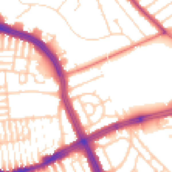
Daytime· 07:00 – 23:00
53.7dB

Night-time· 23:00 – 07:00
44.1dB