31 Winstone Road, Liverpool, L14 0LY
About 31 Winstone Road
31 Winstone Road is a two-bedroom mid-terrace house in Liverpool (L14 0LY). It has a recorded floor area of 55 m² (around 592 sq ft), construction records dating it to 1983-1990 and council tax band A. The latest certificate (October 2018) shows a D (score 68), on the cusp of jumping into the C band. The recommended improvements would lift it to B (score 89), a 2-band jump.
Last sale on file: £115,000 in August 2024. Across the public record there are 4 sales, relatively high churn for a single property. Across 2003–2024, sale prices on this property compounded at 3.5% per year. Today's modelled estimate of £134,000 is 16.5% above the 2024 sale price. On a £-per-square-foot basis, the last sale (£194/sq ft) was about 89.4% above the typical sold price in the postcode. At 55 m² it's 24.3% smaller than the typical home in the postcode (73 m² median across 24 EPCs).
What this property has
Inside
- Bedrooms2
- Bathrooms1
Everything you need to know about 31 Winstone Road
The true value, the hidden risks and the full sale history, in one report.
Pick your report · every report is £14.99
One time fee only - money back guarantee

The data behind every report


Energy performance
Recommended upgrades on file would lift this property by multiple EPC bands.
EPC Rating
Get a survey for this property
Level 2 HomeBuyer Report
We've checked 10 risk factors against the available data for this property and believe a Level 2 HomeBuyer Report could be a suitable option for you.
From £495 · Includes VAT
Planning history
31 Winstone Road has no planning applications on record.
A planning report still maps activity across the surrounding area and reads this property's extension & conversion potential.
Sales history & valuation
31 Winstone Road has more than doubled in price since the earliest registered sale in 2003.
£134,000
Modelled from EPC, postcode comparables and a sale-price growth of 3.5% per year over 21 years.
£115,000
Growth on file: 3.5% per year over 21 years.
Sales timeline
22 August 2024Most recent
£115,000
+64.3%over 5 years17 April 2019
£70,000
-19.5%over 14 years20 May 2004
£86,950
+58.2%over 11 months8 June 2003
£54,950
Median price across the last 5 sales in L14 0LY: £114,500 (2025–2022).
Nearby sales in L14 0LY
Versus other Winstone Road homes
Price per m² for 31 Winstone Road runs comfortably ahead of the street norm.
Price per m²
£2,091
Street avg £1,173
Floor Area
55 m²
Street avg 74 m²
Habitable Rooms
4 rooms
Street avg 5 rooms
CO₂ Emissions
2.3 t/year
Street avg 3.1 t/year
Everything you need to know about 31 Winstone Road
The true value, the hidden risks and the full sale history, in one report.
Pick your report · every report is £14.99
One time fee only - money back guarantee
The data behind every report
Similar properties nearby
1 Shellingford Road
L14 0PD
1 Woodhurst Crescent
L14 0BA
1 Trent Avenue, Bowring Park
L14 0JU
1 Grant Road
L14 0LE
1 Mossgate Road
L14 0JN
1 Moss Side, Knotty Ash
L14 0JS
1 Mossgate Grove
L14 0JT
1 Aldwark Road
L14 0NE
The neighbourhood at a glance
Reported crime in the wider district is trending notably upward year-on-year.
Crime
6/mo
Rising year-on-year across the wider district.
Nearest stop
0.2 km
Taurus Road — bus stop.
Closest school
0.3 km
Dovecot Primary School. 41 schools nearby.
Go deeper on the local area
A Local Area report breaks down crime, transport links, schools and air quality in depth.
Road noise across the postcode
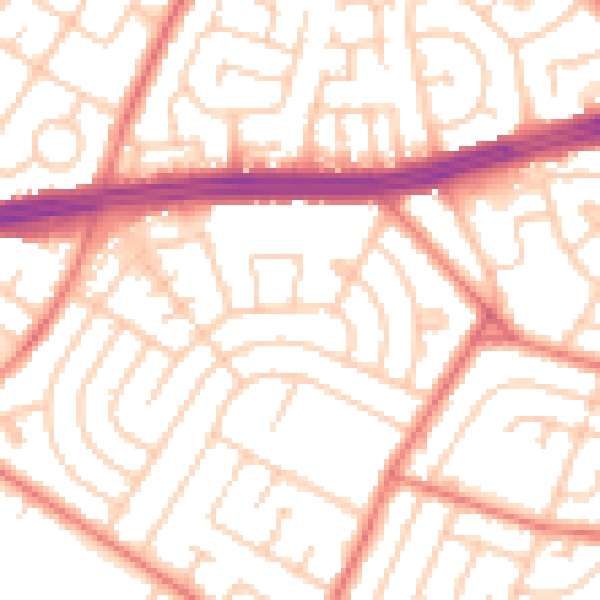
Daytime· 07:00 – 23:00
53.2dB

Night-time· 23:00 – 07:00
41.6dB