58 Molesey Road, Hersham, Walton On Thames, KT12 4RG
About 58 Molesey Road
58 Molesey Road is a two-bedroom semi-detached house in Hersham, Walton-On-Thames, Walton On Thames (KT12 4RG). It has a recorded floor area of 69 m² (around 743 sq ft), construction records dating it to 1930-1949 and council tax band D. The latest certificate (August 2023) shows a D (score 60), on the cusp of jumping into the C band. The rating has held steady at D across 2 certificates since May 2011. Between certificates, window efficiency went from Average to Good and lighting went from Poor to Very Good. The recommended improvements would lift it to B (score 84), a 2-band jump.
2 planning records sit against the property, 2 approved, 0 refused. Past consents include an extension, meaningful when judging how the property has evolved. Across 1996–2023, sale prices on this property compounded at 7.4% per year. On a £-per-square-foot basis, the last sale (£646/sq ft) was about 96.8% above the typical sold price in the postcode. 2 bedrooms is on the smaller side for this postcode, where 4 is the typical count. Sold September 2023 for £480,000.
Know exactly what you're buying at 58 Molesey Road
Before you offer, see what the listing won't tell you, the true value, the red flags and the full history.
Already flagged here
Valuation
against the asking price
Risks
planning & flood
Sold prices
similar homes nearby
Trends
the local market
What this property has
Inside
- Bedrooms2
- Bathrooms1
- Open-plan layoutYes
- EnsuiteYes
Outside
- Private gardenYes
- ParkingOff road
Energy performance
Recommended upgrades on file would lift this property by multiple EPC bands.
EPC Rating
Property Improvements
Changes detected from historical EPC data
Window efficiency improved
More low energy lighting installed
Planning history
58 Molesey Road has an approved single-storey rear extension on the planning record.
- Jun 2014ExtensionOutlineIn report
Extension: Single storey · Rear of property
PD Prior Notification: Single storey rear extension
- Documents
- 7 docs on file
- Reference
- 2014/1745
- Mar 2014
We flagged 1 thing worth checking at 58 Molesey Road
Independent checks surfaced things a buyer would want to understand before offering. The report explains each one in full, with the underlying data and what to ask.
- Larger development activity nearby
30-day money-back guarantee
Sales history & valuation
58 Molesey Road has more than quadrupled in price since its earliest registered sale in 1996.
£489,000
Modelled from EPC, postcode comparables and a sale-price growth of 7.4% per year over 27 years.
£480,000
Growth on file: 7.4% per year over 27 years.
Sales timeline
25 September 2023Most recent
£480,000
+92.0%over 12 years4 August 2011
£250,000
+29.9%over 6 years26 May 2005
£192,500
+187.3%over 9 years18 April 1996
£67,000
Median price across the last 5 sales in KT12 4RG: £445,000 (2025–2016).
Nearby sales in KT12 4RG
60 Molesey Road, Hersham, Walton On Thames, KT12 4RG
Sold Aug 2025
£495,00042 Molesey Road, Hersham, Walton On Thames, KT12 4RG
Sold Jan 2021
£445,00046 Molesey Road, Hersham, Walton On Thames, KT12 4RG
Sold Dec 2017
£390,00062 Molesey Road, Hersham, Walton On Thames, KT12 4RG
Sold Oct 2016
£449,00068 Molesey Road, Hersham, Walton On Thames, KT12 4RG
Sold Jun 2013
£274,000
Everything we know about 58 Molesey Road, in one report
What it's really worth, what could be wrong, and the planning, sales and area data in full.
What we flagged
- Larger development activity nearby

Versus other Molesey Road homes
Price per m² for 58 Molesey Road runs comfortably ahead of the street norm.
Price per m²
£6,957
Street avg £4,318
Floor Area
69 m²
Street avg 82 m²
Habitable Rooms
4 rooms
Street avg 4 rooms
CO₂ Emissions
2.7 t/year
Street avg 3.6 t/year
Similar properties nearby
1 Broad Close, Hersham
KT12 4QX
1 Church Green, Hersham
KT12 4JA
1 Abbotts Tilt, Hersham
KT12 4RB
1 Avondale Close, Hersham
KT12 4HS
1 Claremont Avenue, Hersham
KT12 4NR
1 Conyers Close, Hersham
KT12 4NG
1 Celandine Road, Hersham
KT12 4NX
1 Dukes Road, Hersham
KT12 4LS
The neighbourhood at a glance
Crime
9/mo
Steady year-on-year across the wider district.
Nearest stop
0.1 km
Thrupps Lane — bus stop.
Closest school
0.4 km
Burhill Primary School. 11 schools nearby.
Go deeper on the local area
The full report breaks down crime, transport links, schools and air quality in depth.
Road noise across the postcode
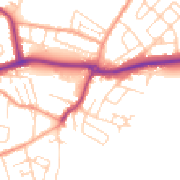
Daytime· 07:00 – 23:00
50.7dB

Night-time· 23:00 – 07:00
41.8dB