6 Glemham Drive, Rushmere St Andrew, Ipswich, IP4 5BH
About 6 Glemham Drive
6 Glemham Drive is a four-bedroom detached house in Rushmere St. Andrew, Ipswich, Ipswich (IP4 5BH). It has a recorded floor area of 113 m² (around 1216 sq ft), construction records dating it to 1991-1995 and council tax band E. The latest certificate (January 2023) shows a D (score 67), on the cusp of jumping into the C band. The recommended improvements would lift it to B (score 86), a 2-band jump.
On a £-per-square-foot basis, the last sale (£354/sq ft) was about 96.9% above the typical sold price in the postcode. Most recent transfer: June 2023 at £430,000.
What this property has
Inside
- Bedrooms4
- Bathrooms2
- Dining roomYes
- EnsuiteYes
Outside
- GarageSingle
Building
- Heating systemGas
Everything you need to know about 6 Glemham Drive
The true value, the hidden risks and the full sale history, in one report.
Pick your report · every report is £14.99
One time fee only - money back guarantee

The data behind every report


Energy performance
Recommended upgrades on file would lift this property by multiple EPC bands.
EPC Rating
Get a survey for this property
Level 2 HomeBuyer Report
We've checked 10 risk factors against the available data for this property and believe a Level 2 HomeBuyer Report could be a suitable option for you.
From £695 · Includes VAT
Planning history
6 Glemham Drive has no planning applications on record.
But the area is active
1 notable application nearby — larger schemes and conversions that could reshape the street. The report maps them all.
Sales history & valuation
6 Glemham Drive valuation sits well clear of the typical sold price in this postcode.
£426,000
Modelled from EPC, postcode comparables.
£430,000
Recorded with HM Land Registry.
Sales timeline
13 June 2023Most recent
£430,000
Median price across the last 5 sales in IP4 5BH: £432,500 (2024–2021).
Nearby sales in IP4 5BH
2 Glemham Drive, Rushmere St Andrew, Ipswich, IP4 5BH
Sold Jul 2024
£360,00033 Glemham Drive, Rushmere St Andrew, Ipswich, IP4 5BH
Sold Mar 2022
£385,00029 Glemham Drive, Rushmere St Andrew, Ipswich, IP4 5BH
Sold Nov 2021
£466,00027 Glemham Drive, Rushmere St Andrew, Ipswich, IP4 5BH
Sold Jun 2021
£432,50012 Glemham Drive, Rushmere St Andrew, Ipswich, IP4 5BH
Sold Mar 2021
£520,000
Versus other Glemham Drive homes
On years held, 6 Glemham Drive runs well behind the street norm.
Price per m²
£3,805
Street avg £2,689
Floor Area
113 m²
Street avg 120 m²
Habitable Rooms
6 rooms
Street avg 6 rooms
CO₂ Emissions
4.4 t/year
Street avg 4.7 t/year
Everything you need to know about 6 Glemham Drive
The true value, the hidden risks and the full sale history, in one report.
Pick your report · every report is £14.99
One time fee only - money back guarantee
The data behind every report
Similar properties nearby
1 Adelaide Road
IP4 5PR
1 Butterfly Gardens, Rushmere St Andrew
IP4 5TF
1 Clementine Gardens
IP4 5GA
1 3, Heath Road
IP4 5RZ
1 Cornwallis Terrace
IP4 5JY
1 Chartwell Close
IP4 5DU
1 Broadlands Way, Rushmere St Andrew
IP4 5SU
1 Brookhill Way, Rushmere St Andrew
IP4 5UL
The neighbourhood at a glance
Reported crime in the wider district is trending notably upward year-on-year.
Crime
9/mo
Rising year-on-year across the wider district.
Nearest stop
0.2 km
Glemham Drive — bus stop.
Closest school
0.8 km
Broke Hall Community Primary School. 11 schools nearby.
Go deeper on the local area
A Local Area report breaks down crime, transport links, schools and air quality in depth.
Road noise across the postcode
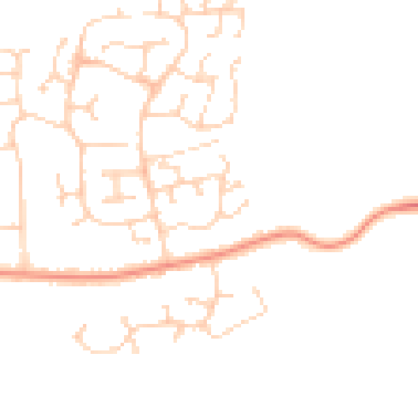
Daytime· 07:00 – 23:00
45.4dB

Night-time· 23:00 – 07:00
36.4dB