8 Crofton Road, Ipswich, IP4 4QS
About 8 Crofton Road
8 Crofton Road is a four-bedroom detached house in Ipswich (IP4 4QS). It has a recorded floor area of 123 m² (around 1324 sq ft), construction records dating it to 1930-1949 and council tax band D. Other recorded features include a conservatory. Records show the property has been extended at some point in its history. The latest certificate (July 2017) shows a C (score 70).
Across 1996–2017, sale prices on this property compounded at 6.6% per year. Today's modelled estimate of £528,000 is 25.7% above the 2017 sale price. On a £-per-square-foot basis, the last sale (£317/sq ft) was about 69.1% above the typical sold price in the postcode. On the market in December 2017 and unlisted since — roughly 8 years.
What this property has
Inside
- Bedrooms4
- Bathrooms1
- Open-plan layoutYes
- Dining roomYes
- CloakroomYes
- ConservatoryYes
Outside
- Private gardenNorth-east-facing
- DrivewayYes
Building
- Previously extendedYes
Everything you need to know about 8 Crofton Road
The true value, the hidden risks and the full sale history, in one report.
Pick your report · every report is £14.99
One time fee only - money back guarantee

The data behind every report


Energy performance
EPC Rating
Get a survey for this property
Level 2 HomeBuyer Report
We've checked 10 risk factors against the available data for this property and believe a Level 2 HomeBuyer Report could be a suitable option for you.
From £795 · Includes VAT
Planning history
8 Crofton Road has no planning applications on record.
But the area is active
12 notable applications nearby — larger schemes and conversions that could reshape the street. The report maps them all.
Sales history & valuation
8 Crofton Road has more than quadrupled in price since its earliest registered sale in 1996.
£528,000
Modelled from EPC, postcode comparables and a sale-price growth of 6.6% per year over 22 years.
£420,000
Growth on file: 6.6% per year over 22 years.
Sales timeline
18 December 2017Most recent
£420,000
+304.3%over 21 years29 February 1996
£103,875
Median price across the last 5 sales in IP4 4QS: £462,500 (2024–2022).
Versus other Crofton Road homes
8 Crofton Road outperforms the street on habitable rooms by a wide margin.
Price per m²
£3,415
Street avg £2,637
Floor Area
123 m²
Street avg 123 m²
Habitable Rooms
7 rooms
Street avg 6 rooms
CO₂ Emissions
4.2 t/year
Street avg 4.5 t/year
Everything you need to know about 8 Crofton Road
The true value, the hidden risks and the full sale history, in one report.
Pick your report · every report is £14.99
One time fee only - money back guarantee
The data behind every report
Similar properties nearby
1 Bramley Chase
IP4 4LW
1 Crofton Road
IP4 4QS
1 Cherry Lane Gardens
IP4 4QQ
1 Holland Road
IP4 4EF
1 Meadowvale Close
IP4 4HE
1 Crozier Mews
IP4 4PA
1 Crofton Close
IP4 4QR
1 Kingsgate Drive
IP4 4DL
The neighbourhood at a glance
Reported crime in the wider district is trending notably upward year-on-year.
Crime
9/mo
Rising year-on-year across the wider district.
Nearest stop
0.1 km
Crofton Road — bus stop.
Closest school
0.5 km
St Alban's Catholic High School. 17 schools nearby.
Go deeper on the local area
A Local Area report breaks down crime, transport links, schools and air quality in depth.
Road noise across the postcode
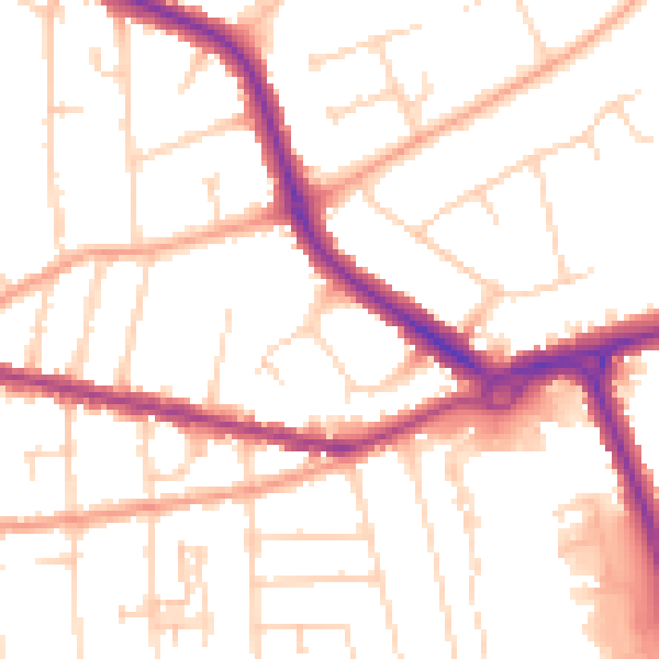
Daytime· 07:00 – 23:00
51.7dB

Night-time· 23:00 – 07:00
41.8dB