1 Bank Road, Ipswich, IP4 2QN
About 1 Bank Road
1 Bank Road is a two-bedroom end-of-terrace house in Ipswich (IP4 2QN). It has a recorded floor area of 57 m² (around 614 sq ft), construction records dating it to 1900-1929 and council tax band A. The latest certificate (March 2017) shows an E (score 51), well below the UK norm with real room to improve. The recommended improvements would lift it to B (score 86), a 3-band jump.
Across 1999–2018, sale prices on this property compounded at 7.4% per year. Today's modelled estimate of £187,000 is 20.6% above the 2018 sale price. On a £-per-square-foot basis, the last sale (£253/sq ft) was about 35.7% above the typical sold price in the postcode. 8 years since the last transfer (February 2018).
What this property has
Inside
- Bedrooms2
- Dining roomYes
Outside
- Private gardenYes
- ParkingOff road
Everything you need to know about 1 Bank Road
The true value, the hidden risks and the full sale history, in one report.
Pick your report · every report is £14.99
One time fee only - money back guarantee

The data behind every report


Energy performance
Recommended upgrades on file would lift this property by multiple EPC bands.
EPC Rating
Get a survey for this property
Level 3 Building Survey
Because the property was built before 1919 and has solid (non-cavity) walls, we believe a Level 3 building survey should be considered.
From £820 · Includes VAT
Planning history
1 Bank Road has no planning applications on record.
But the area is active
15 notable applications nearby — larger schemes and conversions that could reshape the street. The report maps them all.
Sales history & valuation
Sale price has grown by over 3x since 1999.
£187,000
Modelled from EPC, postcode comparables and a sale-price growth of 7.4% per year over 18 years.
£155,000
Growth on file: 7.4% per year over 18 years.
Sales timeline
14 February 2018Most recent
£155,000
+269.0%over 18 years20 September 1999
£42,000
Median price across the last 5 sales in IP4 2QN: £161,750 (2020–2012).
Versus other Bank Road homes
1 Bank Road is notably below the street on epc rating.
Price per m²
£2,719
Street avg £2,451
Floor Area
57 m²
Street avg 88 m²
Habitable Rooms
3 rooms
Street avg 5 rooms
CO₂ Emissions
3.8 t/year
Street avg 4.0 t/year
Everything you need to know about 1 Bank Road
The true value, the hidden risks and the full sale history, in one report.
Pick your report · every report is £14.99
One time fee only - money back guarantee
The data behind every report
Similar properties nearby
1 Bransby Gardens
IP4 2HQ
1 Finchley Road
IP4 2HX
1 Haslemere Drive
IP4 2PP
1 Chivers Court
IP4 2AF
1 Blanche Street
IP4 2EJ
1 Grove Cottages, Spring Road
IP4 2RS
1 Bramley Hill
IP4 2AE
1 Christchurch Court, Cobbold Mews
IP4 2DQ
The neighbourhood at a glance
Reported crime in the wider district is trending notably upward year-on-year.
Crime
9/mo
Rising year-on-year across the wider district.
Nearest stop
0.1 km
Duke of York — bus stop.
Closest school
0.4 km
St Helen's Primary School. 27 schools nearby.
Go deeper on the local area
A Local Area report breaks down crime, transport links, schools and air quality in depth.
Road noise across the postcode
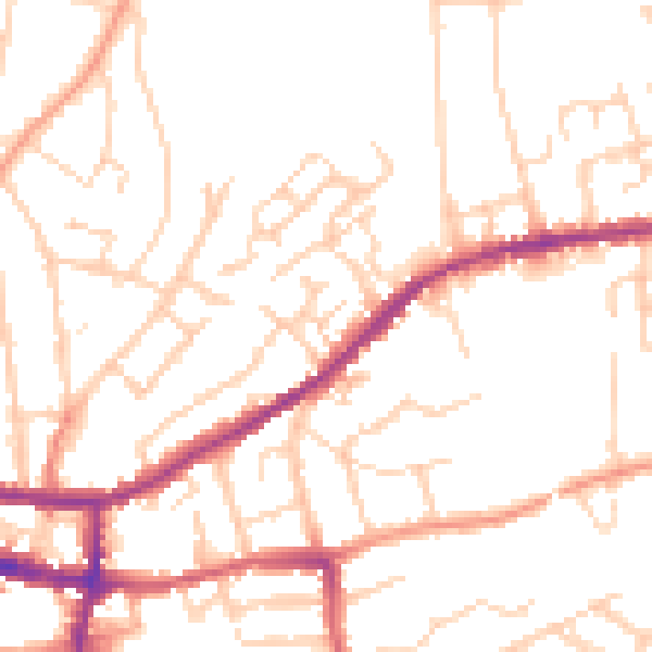
Daytime· 07:00 – 23:00
49.8dB

Night-time· 23:00 – 07:00
40.0dB