39 Faraday Road, Ipswich, IP4 1PU
About 39 Faraday Road
39 Faraday Road is a three-bedroom mid-terrace house in Ipswich (IP4 1PU). It has a recorded floor area of 86 m² (around 926 sq ft), construction records dating it to before 1900 and council tax band B. The latest certificate (August 2016) shows an E (score 54), well below the UK norm with real room to improve. The recommended improvements would lift it to C (score 79), a 2-band jump.
Most recent transfer was October 2025 at £210,000 — fresh data. It lags the bulk of the postcode on energy efficiency (less efficient than 72% of similar EPCs). Across 2016–2025, sale prices on this property compounded at 2.9% per year. On a £-per-square-foot basis, the last sale (£227/sq ft) was about 56.6% above the typical sold price in the postcode.
What this property has
Inside
- Bedrooms3
- Bathrooms1
Everything you need to know about 39 Faraday Road
The true value, the hidden risks and the full sale history, in one report.
Pick your report · every report is £14.99
One time fee only - money back guarantee

The data behind every report


Energy performance
Recommended upgrades on file would lift this property by multiple EPC bands.
EPC Rating
Get a survey for this property
Level 3 Building Survey
Because the property was built before 1919, has been extended more than once, and has solid (non-cavity) walls, we believe a Level 3 building survey should be considered.
From £885 · Includes VAT
Planning history
39 Faraday Road has no planning applications on record.
But the area is active
6 notable applications nearby — larger schemes and conversions that could reshape the street. The report maps them all.
Sales history & valuation
39 Faraday Road valuation sits well clear of the typical sold price in this postcode.
£211,000
Modelled from EPC, postcode comparables and a sale-price growth of 2.9% per year over 9 years.
£210,000
Growth on file: 2.9% per year over 9 years.
Sales timeline
23 October 2025Most recent
£210,000
+29.2%over 8 years22 December 2016
£162,500
Median price across the last 5 sales in IP4 1PU: £220,000 (2025–2023).
Versus other Faraday Road homes
On years held, 39 Faraday Road runs well behind the street norm.
Price per m²
£2,442
Street avg £1,991
Floor Area
86 m²
Street avg 84 m²
Habitable Rooms
5 rooms
Street avg 5 rooms
CO₂ Emissions
5.0 t/year
Street avg 4.4 t/year
Everything you need to know about 39 Faraday Road
The true value, the hidden risks and the full sale history, in one report.
Pick your report · every report is £14.99
One time fee only - money back guarantee
The data behind every report
Similar properties nearby
The neighbourhood at a glance
Rail-style transport is unusually close for this postcode.
Crime
9/mo
Rising year-on-year across the wider district.
Nearest stop
0.1 km
Fuschia Lane — bus stop.
Closest school
0.3 km
Clifford Road Primary School & Nursery. 25 schools nearby.
Go deeper on the local area
A Local Area report breaks down crime, transport links, schools and air quality in depth.
Road noise across the postcode
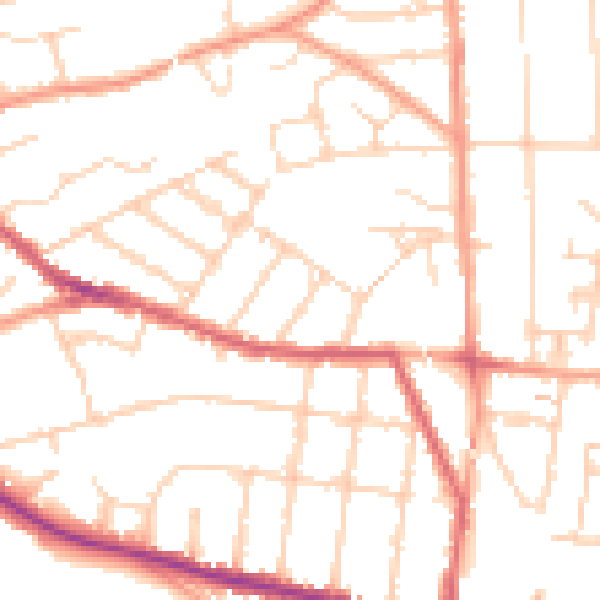
Daytime· 07:00 – 23:00
49.8dB

Night-time· 23:00 – 07:00
39.5dB