13 Melville Road, Ipswich, IP4 1PN
About 13 Melville Road
13 Melville Road is a mid-terrace house in Ipswich (IP4 1PN). It has a recorded floor area of 79 m² (around 849 sq ft), construction records dating it to 1900-1929 and council tax band B. The latest certificate (October 2011) shows a D (score 57), a step below the typical UK home. The latest certificate is from October 2011, so improvements made since then won't be reflected.
Across 1996–2012, sale prices on this property compounded at 8.1% per year. Today's modelled estimate of £198,000 sits 65% above the 2012 sale of £120,000. On the market in February 2012 and unlisted since — roughly 14 years.
Everything you need to know about 13 Melville Road
The true value, the hidden risks and the full sale history, in one report.
Pick your report · every report is £14.99
One time fee only - money back guarantee

The data behind every report


Energy performance
13 Melville Road's EPC is over a decade old — improvements since won't be reflected.
EPC Expired
This certificate is over 10 years old and is no longer valid.Expired 13 Oct 2021
EPC Rating
Get a survey for this property
Level 3 Building Survey
Because the property was built before 1919 and has solid (non-cavity) walls, we believe a Level 3 building survey should be considered.
From £820 · Includes VAT
Planning history
13 Melville Road has no planning applications on record.
But the area is active
6 notable applications nearby — larger schemes and conversions that could reshape the street. The report maps them all.
Sales history & valuation
13 Melville Road has more than tripled in price since its earliest registered sale in 1996.
£198,000
Modelled from EPC, postcode comparables and a sale-price growth of 8.1% per year over 15 years.
£120,000
Growth on file: 8.1% per year over 15 years.
Sales timeline
17 February 2012Most recent
£120,000
+152.6%over 11 years3 March 2000
£47,500
+28.4%over 3 years23 December 1996
£37,000
Median price across the last 5 sales in IP4 1PN: £218,000 (2025–2024).
Versus other Melville Road homes
Price per m² for 13 Melville Road lags the street by a wide margin.
Price per m²
£1,522
Street avg £1,939
Floor Area
79 m²
Street avg 84 m²
Habitable Rooms
4 rooms
Street avg 4 rooms
CO₂ Emissions
4.3 t/year
Street avg 4.0 t/year
Everything you need to know about 13 Melville Road
The true value, the hidden risks and the full sale history, in one report.
Pick your report · every report is £14.99
One time fee only - money back guarantee
The data behind every report
Similar properties nearby
The neighbourhood at a glance
Rail-style transport is unusually close for this postcode.
Crime
9/mo
Rising year-on-year across the wider district.
Nearest stop
0.1 km
Gladstone Road — bus stop.
Closest school
0.1 km
Clifford Road Primary School & Nursery. 25 schools nearby.
Go deeper on the local area
A Local Area report breaks down crime, transport links, schools and air quality in depth.
Road noise across the postcode
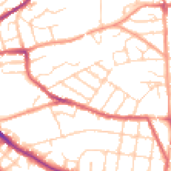
Daytime· 07:00 – 23:00
50.3dB

Night-time· 23:00 – 07:00
40.0dB