10 The Street, Barrow, Bury St Edmunds, IP29 5AN
About 10 The Street
10 The Street is a three-bedroom semi-detached house in Barrow, Bury St. Edmunds, Bury St Edmunds (IP29 5AN). It has a recorded floor area of 114 m² (around 1227 sq ft), construction records dating it to 1950-1966 and council tax band C. The property has solar panels on record, all of which lower running costs and tend to lift resale appeal. The latest certificate (January 2020) shows a D (score 67), on the cusp of jumping into the C band. Earlier certificates rated it C (June 2012); the latest reading is one band lower. Between certificates, wall efficiency dropped from Good to Average and roof efficiency dropped from Very Good to Good. The recommended improvements would lift it to A (score 93), a 3-band jump. Main heating runs on oil.
At 114 m² the property is well over the postcode median (86 m² across 14 EPCs), placing it in the larger end of the local stock. Across 1995–2020, sale prices on this property compounded at 10.8% per year. Today's modelled estimate of £378,000 is 16.3% above the 2020 sale price. On a £-per-square-foot basis, the last sale (£265/sq ft) was about 64.4% above the typical sold price in the postcode. Last sale on file: £325,000 in October 2020.
What this property has
Inside
- Bedrooms3
- Bathrooms1
- Dining roomYes
- CloakroomYes
Outside
- Private gardenYes
- GarageIntegral
Building
- Solar panelsYes
- RefurbishedYes
Everything you need to know about 10 The Street
The true value, the hidden risks and the full sale history, in one report.
Pick your report · from £14.99
One time fee only - money back guarantee

The data behind every report







Energy performance
Recommended upgrades on file would lift this property by multiple EPC bands.
EPC Rating
Certificate validity
Valid until 17 January 2030

Get a survey for this property
Level 3 Building Survey
Because the property has no mains gas supply, we believe a Level 3 building survey should be considered.
From £955 · Includes VAT
Planning history
10 The Street has no planning applications on record.
A planning report still maps activity across the surrounding area and reads this property's extension & conversion potential.
Sales history & valuation
Price for 10 The Street has grown more than fourfold since the 1995 starting point.
£378,000
Modelled from EPC, postcode comparables and a sale-price growth of 10.8% per year over 25 years.
£325,000
Growth on file: 10.8% per year over 25 years.
Sales timeline
11 October 2020Most recent
£325,000
+1200.0%over 24 years7 November 1995
£25,000
Median price across the last 5 sales in IP29 5AN: £275,000 (2025–2020).
Nearby sales in IP29 5AN
8 The Street, Barrow, Bury St Edmunds, IP29 5AN
Sold Mar 2025
£275,00045 The Street, Barrow, Bury St Edmunds, IP29 5AN
Sold Jul 2024
£200,00046 The Street, Barrow, Bury St Edmunds, IP29 5AN
Sold Sept 2022
£580,00048 The Street, Barrow, Bury St Edmunds, IP29 5AN
Sold Nov 2020
£280,00047 The Street, Barrow, Bury St Edmunds, IP29 5AN
Sold Oct 2020
£225,000
Versus other The Street homes
On epc rating, 10 The Street stands well clear of the street.
Price per m²
£2,851
Street avg £2,772
Floor Area
114 m²
Street avg 87 m²
Habitable Rooms
5 rooms
Street avg 5 rooms
CO₂ Emissions
4.9 t/year
Street avg 5.4 t/year
Everything you need to know about 10 The Street
The true value, the hidden risks and the full sale history, in one report.
Pick your report · from £14.99
One time fee only - money back guarantee
The data behind every report
Similar properties nearby
1 Broad Green Close, Chevington
IP29 5RN
1 Brittons Crescent, Barrow
IP29 5AG
1 Bury Road, Barrow
IP29 5DE
1 Garrods End, Chedburgh Road, Chevington
IP29 5QY
1 Brook Close, Manor Lane, Horringer
IP29 5PY
1 Brittons Road, Barrow
IP29 5AF
1 Almshouses, High Green, Nowton
IP29 5LZ
1 Barrow Hill, Barrow
IP29 5DX
The neighbourhood at a glance
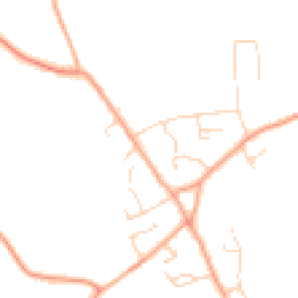
Daytime road noise here sits well below conversation level — a quiet pocket of the postcode.
Crime
18/mo
Steady year-on-year across the wider district.
Nearest stop
0.1 km
Brittons Road — bus stop.
Closest school
0.4 km
Barrow Church of England Voluntary Controlled Primary School. 1 school nearby.
Go deeper on the local area
A Local Area report breaks down crime, transport links, schools and air quality in depth.
Road noise across the postcode
Daytime· 07:00 – 23:00
45.0dB

Night-time· 23:00 – 07:00
36.4dB