5 Hunters Drive, Red Lodge, Bury St Edmunds, IP28 1AH
About 5 Hunters Drive
5 Hunters Drive is a detached house in Red Lodge, Bury St. Edmunds, Bury St Edmunds (IP28 1AH). It has a recorded floor area of 96 m² (around 1033 sq ft). The latest certificate (July 2019) returns a B (score 84), comfortably above the UK average. The recommended improvements would push it to A (score 95).
Last sale on file: £332,995 in October 2019.
Know exactly what you're buying at 5 Hunters Drive
Before you offer, see what the listing won't tell you, the true value, the red flags and the full history.
Valuation
against the asking price
Risks
planning & flood
Sold prices
similar homes nearby
Trends
the local market
Energy performance
5 Hunters Drive's carbon output is low for the local stock.
EPC Rating
Planning history
5 Hunters Drive has no planning applications on record.
The full report still covers planning activity across the surrounding area.
Sales history & valuation
£357,000
Modelled from EPC, postcode comparables.
£332,995
Recorded with HM Land Registry.
Sales timeline
10 October 2019Most recent
£332,995
Median price across the last 5 sales in IP28 1AH: £350,000 (2022–2019).
Nearby sales in IP28 1AH
Everything we know about 5 Hunters Drive, in one report
What it's really worth, what could be wrong, and the planning, sales and area data in full.
- Am I paying too much?
- Is something wrong with it?
- Is the agent's story true?
- Will it hold its value?

Versus other Hunters Drive homes
5 Hunters Drive is notably below the street on floor area.
Price per m²
£3,469
Street avg £3,197
Floor Area
96 m²
Street avg 113 m²
CO₂ Emissions
1.4 t/year
Street avg 1.6 t/year
Years Held
7 years
Street avg 5 years
Similar properties nearby
10 Hawkers Street, Red Lodge
IP28 1AG
17 Falconer Road, Red Lodge
IP28 1AE
11 Falconer Road, Red Lodge
IP28 1AE
1 Falconer Road, Red Lodge
IP28 1AE
11 Eagle Close, Red Lodge
IP28 1AF
17 Eagle Close, Red Lodge
IP28 1AF
15 Eagle Close, Red Lodge
IP28 1AF
1 Eagle Close, Red Lodge
IP28 1AF
The neighbourhood at a glance
Crime
3/mo
Steady year-on-year across the wider district.
Nearest stop
0.1 km
Horseshoe Drive — bus stop.
Closest school
0.5 km
St Christopher's CEVCP School. 3 schools nearby.
Go deeper on the local area
The full report breaks down crime, transport links, schools and air quality in depth.
Road noise across the postcode
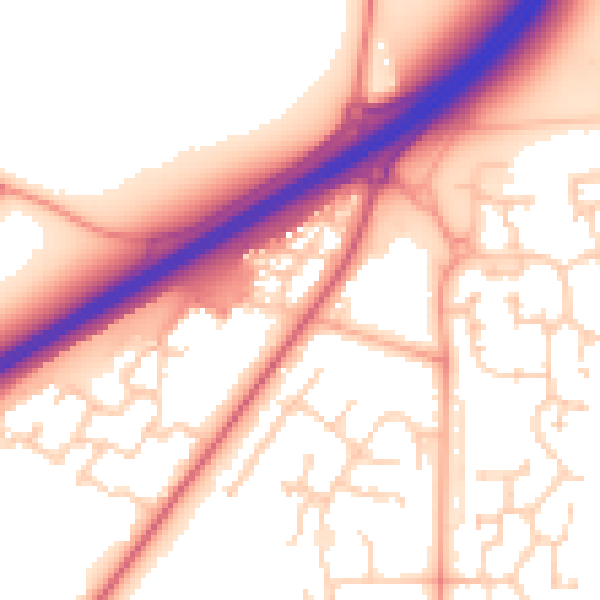
Daytime· 07:00 – 23:00
56.0dB

Night-time· 23:00 – 07:00
47.9dB