1 Hunters Drive, Red Lodge, Bury St Edmunds, IP28 1AH
About 1 Hunters Drive
1 Hunters Drive is a detached house in Red Lodge, Bury St. Edmunds, Bury St Edmunds (IP28 1AH). It has a recorded floor area of 114 m² (around 1227 sq ft) and construction records dating it to 2018. The latest certificate (October 2021) returns a high B (score 85), putting the home a stone's throw from an A rating. The rating has held steady at B across 2 certificates since January 2019. The recommended improvements would push it to A (score 94).
On a £-per-square-foot basis, the last sale (£332/sq ft) was about 17.1% above the typical sold price in the postcode. Last sale on file: £406,995 in October 2021. That sale was during the post-pandemic price surge, when transactions cleared materially above pre-2020 trend.
Know exactly what you're buying at 1 Hunters Drive
Before you offer, see what the listing won't tell you, the true value, the red flags and the full history.
Valuation
against the asking price
Risks
planning & flood
Sold prices
similar homes nearby
Trends
the local market
Energy performance
EPC Rating
Planning history
1 Hunters Drive has no planning applications on record.
The full report still covers planning activity across the surrounding area.
Sales history & valuation
The latest sale landed in the post-pandemic price surge — useful context when reading the figure.
£417,000
Modelled from EPC, postcode comparables.
£406,995
Recorded with HM Land Registry.
Sales timeline
28 October 2021Most recent
£406,995
Median price across the last 5 sales in IP28 1AH: £332,995 (2022–2019).
Nearby sales in IP28 1AH
Everything we know about 1 Hunters Drive, in one report
What it's really worth, what could be wrong, and the planning, sales and area data in full.
- Am I paying too much?
- Is something wrong with it?
- Is the agent's story true?
- Will it hold its value?

Versus other Hunters Drive homes
On price per m², 1 Hunters Drive stands well clear of the street.
Price per m²
£3,570
Street avg £3,172
Floor Area
114 m²
Street avg 108 m²
CO₂ Emissions
1.6 t/year
Street avg 1.6 t/year
Years Held
5 years
Street avg 6 years
Similar properties nearby
1 Hawkers Street, Red Lodge
IP28 1AG
1 Chase Avenue, Red Lodge
IP28 1AD
15 Falconer Road, Red Lodge
IP28 1AE
1 Falconer Road, Red Lodge
IP28 1AE
11 Falconer Road, Red Lodge
IP28 1AE
11 Hawkers Street, Red Lodge
IP28 1AG
17 Falconer Road, Red Lodge
IP28 1AE
10 Hawkers Street, Red Lodge
IP28 1AG
The neighbourhood at a glance
Crime
3/mo
Steady year-on-year across the wider district.
Nearest stop
0.1 km
Horseshoe Drive — bus stop.
Closest school
0.5 km
St Christopher's CEVCP School. 3 schools nearby.
Go deeper on the local area
The full report breaks down crime, transport links, schools and air quality in depth.
Road noise across the postcode
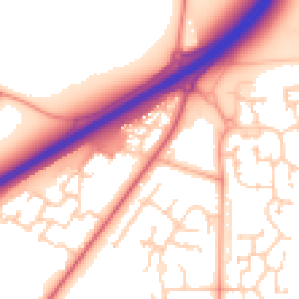
Daytime· 07:00 – 23:00
56.0dB

Night-time· 23:00 – 07:00
47.9dB