42 Mere Street, Diss, IP22 4AG
About 42 Mere Street
42 Mere Street is a property in Diss (IP22 4AG).
8 years since the last transfer (February 2018). Across 1999–2018, sale prices on this property compounded at 2.8% per year. One historical planning record sits against the property in 2007.
Know exactly what you're buying at 42 Mere Street
Before you offer, see what the listing won't tell you, the true value, the red flags and the full history.
Already flagged here
Valuation
against the asking price
Risks
planning & flood
Sold prices
similar homes nearby
Trends
the local market
Energy performance
No EPC on record
This property doesn't have an Energy Performance Certificate yet. An EPC is required to sell or let — and unlocks our automated valuation.
Planning history
- Aug 2007RenovationHeritageIn report
Alteration - removal of wall
- Documents
- 12 docs on file
- Reference
- 2007/1376
We flagged 1 thing worth checking at 42 Mere Street
Independent checks surfaced things a buyer would want to understand before offering. The report explains each one in full, with the underlying data and what to ask.
- Larger development activity nearby
30-day money-back guarantee
Sales history & valuation
£110,500
Growth on file: 2.8% per year over 19 years.
Sales timeline
19 February 2018Most recent
£110,500
+67.4%over 18 years11 May 1999
£66,000
Median price across the last 3 sales in IP22 4AG: £148,500 (2024–2010).
Everything we know about 42 Mere Street, in one report
What it's really worth, what could be wrong, and the planning, sales and area data in full.
What we flagged
- Larger development activity nearby

Similar properties nearby
1 2 Cobbs Yard, St Nicholas Street
IP22 4LB
1 3, Shelfanger Road
IP22 4EH
1 Albert Terrace, Victoria Road
IP22 4RJ
1 Aldrich Way, Roydon
IP22 4FJ
1 Appletree Lane, Roydon
IP22 4FL
1 Bartrums Mews
IP22 4RL
1 Basham Street
IP22 4YY
1 Bellacre Close
IP22 4HJ
The neighbourhood at a glance
Daytime road noise here sits well below conversation level — a quiet pocket of the postcode.
Crime
2/mo
Steady year-on-year across the wider district.
Nearest stop
1.0 km
Diss Rail Station — railway station.
Closest school
0.3 km
Diss Church of England Junior Academy. 5 schools nearby.
Go deeper on the local area
The full report breaks down crime, transport links, schools and air quality in depth.
Road noise across the postcode
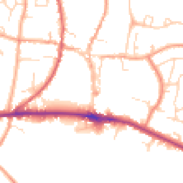
Daytime· 07:00 – 23:00
49.2dB

Night-time· 23:00 – 07:00
40.3dB