84 Borders Lane, Loughton, IG10 3QX
About 84 Borders Lane
84 Borders Lane is a mid-terrace house in Loughton (IG10 3QX). It has a recorded floor area of 106 m² (around 1141 sq ft), construction records dating it to 1950-1966 and council tax band C. The latest certificate (July 2020) shows a C (score 74).
At 106 m² the property is well over the postcode median (77 m² across 9 EPCs), placing it in the larger end of the local stock. Its energy rating outperforms most of the postcode (better than 78% of similar EPCs). 10 years since the last transfer (November 2016). Across the public record there are 5 sales, relatively high churn for a single property. Across 2003–2016, sale prices on this property compounded at 5.4% per year. Today's modelled estimate of £347,000 is 26.2% above the 2016 sale price.
Everything you need to know about 84 Borders Lane
The true value, the hidden risks and the full sale history, in one report.
30-day money-back guarantee

The data behind every report


Energy performance
EPC Rating
Planning history
84 Borders Lane has no planning applications on record.
Notable planning nearby
2applications of note in the surrounding area
We flagged 1 thing worth checking at 84 Borders Lane
Independent checks surfaced things a buyer would want to understand before offering. The report explains each one in full, with the underlying data and what to ask.
- Larger development activity nearby
30-day money-back guarantee
Sales history & valuation
Sale price has at least doubled since 2003.
£347,000
Modelled from EPC, postcode comparables and a sale-price growth of 5.4% per year over 13 years.
£275,000
Growth on file: 5.4% per year over 13 years.
Sales timeline
16 November 2016Most recent
£275,000
+57.1%over 6 years19 October 2010
£175,000
27 October 2008
£174,995
+4.2%over 1 year16 March 2007
£168,000
+22.2%over 3 years11 September 2003
£137,500
Median price across the last 5 sales in IG10 3QX: £20,000 (2024–2018).
Nearby sales in IG10 3QX
Versus other Borders Lane homes
On epc rating, 84 Borders Lane stands well clear of the street.
Price per m²
£2,594
Street avg £3,090
Floor Area
106 m²
Street avg 78 m²
Habitable Rooms
5 rooms
Street avg 3 rooms
CO₂ Emissions
2.9 t/year
Street avg 4.4 t/year
Everything you need to know about 84 Borders Lane
The true value, the hidden risks and the full sale history, in one report.
30-day money-back guarantee
The data behind every report
Similar properties nearby
The neighbourhood at a glance
Crime
4/mo
Steady year-on-year across the wider district.
Nearest stop
0.1 km
Durnell Way — bus stop.
Closest school
0.6 km
The Alderton Junior School. 12 schools nearby.
Go deeper on the local area
The full report breaks down crime, transport links, schools and air quality in depth.
Road noise across the postcode
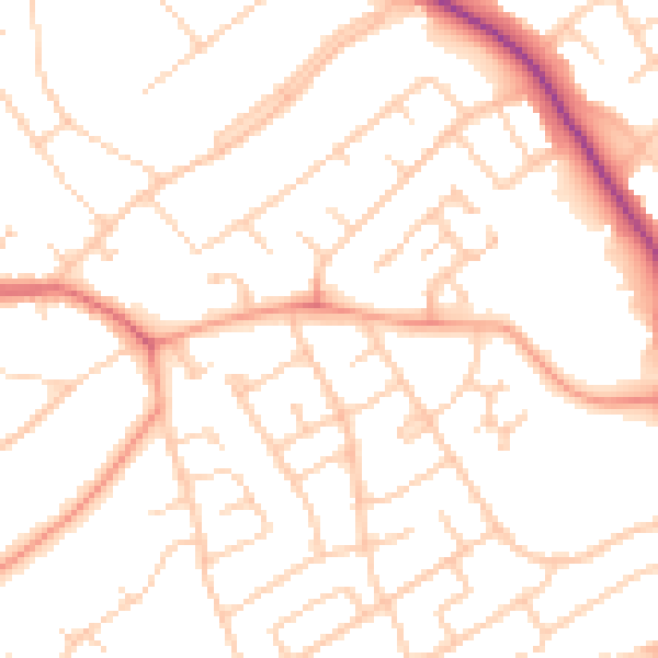
Daytime· 07:00 – 23:00
50.5dB

Night-time· 23:00 – 07:00
40.6dB