24 Doubleday Road, Loughton, IG10 2AT
About 24 Doubleday Road
24 Doubleday Road is a property in Loughton (IG10 2AT). It has council tax band C.
Held since November 1998 — that's 28 years off the open market, well above the local norm. Only one transfer is on record with HM Land Registry, suggesting it has stayed in the same hands for a long time. One planning record on file: an extension approved in 2024. Past consents include an extension, meaningful when judging how the property has evolved.
Know exactly what you're buying at 24 Doubleday Road
Before you offer, see what the listing won't tell you, the true value, the red flags and the full history.
Already flagged here
Valuation
against the asking price
Risks
planning & flood
Sold prices
similar homes nearby
Trends
the local market
Energy performance
No EPC on record
This property doesn't have an Energy Performance Certificate yet. An EPC is required to sell or let — and unlocks our automated valuation.
Planning history
24 Doubleday Road has an approved single-storey side extension on the planning record.
- May 2024ExtensionFullIn report
Extension: Single storey · Side of property
Single storey side extension with roof windows.
- Documents
- 6 docs on file
- Reference
- EPF/0744/24
We flagged 1 thing worth checking at 24 Doubleday Road
Independent checks surfaced things a buyer would want to understand before offering. The report explains each one in full, with the underlying data and what to ask.
- Larger development activity nearby
30-day money-back guarantee
Sales history & valuation
24 Doubleday Road has been held in the same hands since before 2000.
£80,500
Recorded with HM Land Registry.
Sales timeline
30 November 1998Most recent
£80,500
Median price across the last 5 sales in IG10 2AT: £425,000 (2025–2020).
Nearby sales in IG10 2AT
Everything we know about 24 Doubleday Road, in one report
What it's really worth, what could be wrong, and the planning, sales and area data in full.
What we flagged
- Larger development activity nearby

Similar properties nearby
The neighbourhood at a glance
Rail-style transport is unusually close for this postcode.
Crime
4/mo
Steady year-on-year across the wider district.
Nearest stop
0.2 km
Ibbetson Path — bus stop.
Closest school
0.2 km
Thomas Willingale Primary School and Nursery. 12 schools nearby.
Go deeper on the local area
The full report breaks down crime, transport links, schools and air quality in depth.
Road noise across the postcode
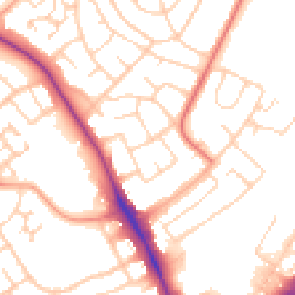
Daytime· 07:00 – 23:00
52.6dB

Night-time· 23:00 – 07:00
43.7dB