2 Burns Street, Halifax, HX3 6RG
About 2 Burns Street
2 Burns Street is a two-bedroom end-of-terrace house in Halifax (HX3 6RG). It has a recorded floor area of 117 m² (around 1259 sq ft), construction records dating it to before 1900 and council tax band A. The latest certificate (April 2015) shows an F (score 35), near the bottom of the EPC scale. The recommended improvements would lift it to C (score 77), a 3-band jump. The latest certificate is from April 2015, so improvements made since then won't be reflected. Other recorded features include a basement and a loft. Period features are noted in the property record.
It hasn't traded since April 2008, a hold of 18 years that's notably long for the area. That sale landed at the peak of the pre-credit-crunch market, which is a useful reference point when interpreting the price. At 117 m² the property is well over the postcode median (75 m² across 4 EPCs), placing it in the larger end of the local stock. On energy efficiency it sits in the bottom 10% of properties in this postcode — significant headroom for improvement. Today's modelled estimate of £116,000 is 43.2% above the 2008 sale price. On a £-per-square-foot basis, the last sale (£64/sq ft) was about 18.3% below the postcode norm.
What this property has
Inside
- Bedrooms2
- Open-plan layoutYes
- LoftYes
- BasementYes
Building
- Heating systemGas
- Period featuresYes
Everything you need to know about 2 Burns Street
The true value, the hidden risks and the full sale history, in one report.
Pick your report · every report is £14.99
One time fee only - money back guarantee

The data behind every report


Energy performance
2 Burns Street sits at the bottom of the postcode for energy efficiency — meaningful headroom to improve.
EPC Expired
This certificate is over 10 years old and is no longer valid.Expired 08 Apr 2025
EPC Rating
Get a survey for this property
Level 3 Building Survey
Because the property was built before 1919, we believe a Level 3 building survey should be considered.
From £820 · Includes VAT
Planning history
2 Burns Street has no planning applications on record.
But the area is active
3 notable applications nearby — larger schemes and conversions that could reshape the street. The report maps them all.
Sales history & valuation
The latest sale landed at the peak of the pre-credit-crunch market — a high-water reference point.
£116,000
Modelled from EPC, postcode comparables.
£81,000
Recorded with HM Land Registry.
Sales timeline
22 April 2008Most recent
£81,000
Median price across the last 5 sales in HX3 6RG: £73,000 (2024–2007).
Versus other Burns Street homes
Price per m² for 2 Burns Street lags the street by a wide margin.
Price per m²
£692
Street avg £955
Floor Area
117 m²
Street avg 75 m²
Habitable Rooms
4 rooms
Street avg 3 rooms
CO₂ Emissions
11.0 t/year
Street avg 4.9 t/year
Everything you need to know about 2 Burns Street
The true value, the hidden risks and the full sale history, in one report.
Pick your report · every report is £14.99
One time fee only - money back guarantee
The data behind every report
Similar properties nearby
1 Burns Street
HX3 6RG
1 Brougham Terrace
HX3 6NQ
1 Church Side Drive
HX3 6LF
1 Belgrave Close
HX3 6BH
1 Belgrave Mount
HX3 6BE
1 Belgrave Gardens
HX3 6BA
1 Brougham Street
HX3 6NF
1 Belgrave Grove
HX3 6BD
The neighbourhood at a glance
Reported crime in the wider district is trending notably upward year-on-year.
Crime
3/mo
Rising year-on-year across the wider district.
Nearest stop
0.1 km
Nursery Lane — bus stop.
Closest school
0.3 km
Moorside Community Primary School. 25 schools nearby.
Go deeper on the local area
A Local Area report breaks down crime, transport links, schools and air quality in depth.
Road noise across the postcode
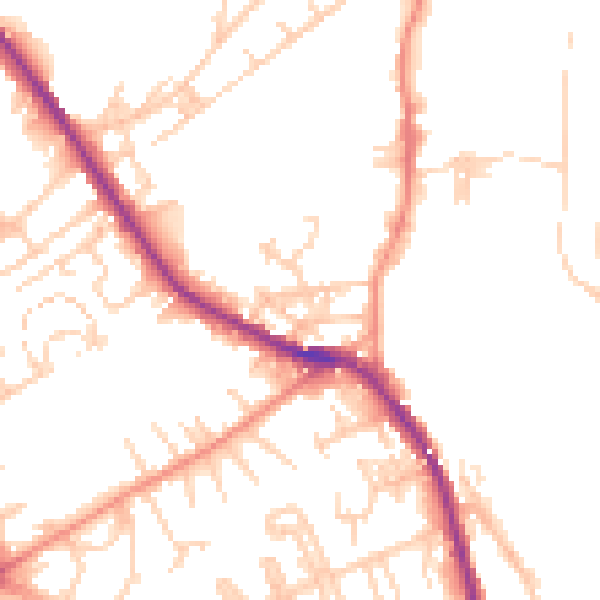
Daytime· 07:00 – 23:00
50.8dB

Night-time· 23:00 – 07:00
41.3dB