9 South Royd Avenue, Halifax, HX3 0BL
About 9 South Royd Avenue
9 South Royd Avenue is a three-bedroom semi-detached house in Halifax (HX3 0BL). It has a recorded floor area of 93 m² (around 1001 sq ft), construction records dating it to 1930-1949 and council tax band E. The latest certificate (July 2015) shows a D (score 56), a step below the typical UK home. The recommended improvements would lift it to B (score 83), a 2-band jump. The latest certificate is from July 2015, so improvements made since then won't be reflected. Other recorded features include outbuildings. Period features are noted in the property record. Records show the property has been extended at some point in its history.
At 93 m² it's 21.2% smaller than the typical home in the postcode (118 m² median across 4 EPCs). On energy efficiency it sits in the top 10% of properties in this postcode. Today's modelled estimate of £403,000 sits 55% above the 2018 sale of £260,000. On a £-per-square-foot basis, the last sale (£260/sq ft) was about 27.2% above the typical sold price in the postcode. 2 planning records sit against the property, 1 approved, 0 refused. Past consents include an extension, meaningful when judging how the property has evolved. Most recent transfer: September 2018 at £260,000.
What this property has
Inside
- Bedrooms3
- Bathrooms2
- CloakroomYes
Outside
- Private gardenYes
- OutbuildingsYes
Building
- Period featuresYes
- Previously extendedYes
Everything you need to know about 9 South Royd Avenue
The true value, the hidden risks and the full sale history, in one report.
Pick your report · every report is £14.99
One time fee only - money back guarantee

The data behind every report


Energy performance
9 South Royd Avenue ranks among the most efficient homes in the postcode for energy use.
EPC Expired
This certificate is over 10 years old and is no longer valid.Expired 08 Jul 2025
EPC Rating
Get a survey for this property
Level 3 Building Survey
Because the property has permanent outbuildings, we believe a Level 3 building survey should be considered.
From £1,020 · Includes VAT
Planning history
2 applications on record at 9 South Royd Avenue, Halifax, HX3 0BL
- Feb 2021ExtensionFullOutcome in report
Extension: Side of property
Demolition of garage to facilitate two storey and first floor side extensions
- Documents
- 18 docs on file
- Reference
- 20/01251/HSE
- More recent applications — locked
- ConditionsJul 2022Decision
Unlock 9 South Royd Avenue, Halifax, HX3 0BL's full planning history
You're seeing the shape of it. The report has the substance.
- Every decision — granted, refused or withdrawn (2 on record)
- All 2 applications on this property in full, plus 1 notable nearby
- The 28 documents, officer reports & conditions
- What the pattern means for extending or converting here
One time fee only - money back guarantee
Sales history & valuation
9 South Royd Avenue valuation sits well clear of the typical sold price in this postcode.
£403,000
Modelled from EPC, postcode comparables.
£260,000
Recorded with HM Land Registry.
Sales timeline
17 September 2018Most recent
£260,000
Median price across the last 5 sales in HX3 0BL: £250,000 (2020–2005).
Nearby sales in HX3 0BL
Versus other South Royd Avenue homes
On epc rating, 9 South Royd Avenue stands well clear of the street.
EPC Rating
56 (D)
Street avg 47 (E)
Floor Area
93 m²
Street avg 117 m²
CO₂ Emissions
5.7 t/year
Street avg 8.5 t/year
Habitable Rooms
5 rooms
Street avg 6 rooms
Everything you need to know about 9 South Royd Avenue
The true value, the hidden risks and the full sale history, in one report.
Pick your report · every report is £14.99
One time fee only - money back guarantee
The data behind every report
Similar properties nearby
1 Copley Wood View, New Lane, Skircoat Green
HX3 0TE
1 Delph View, Wakefield Gate
HX3 0NQ
1 Copley Drive
HX3 0US
1 Copley View
HX3 0TX
1 Copley Grove
HX3 0TZ
1 Cheltenham Place
HX3 0AW
1 Delph Brow, Skircoat Moor Road
HX3 0GZ
1 Bristol Street
HX3 0PT
The neighbourhood at a glance
Reported crime in the wider district is trending notably upward year-on-year.
Crime
3/mo
Rising year-on-year across the wider district.
Nearest stop
0.1 km
Skircoat Green Rd Stafford Avenue — bus stop.
Closest school
0.3 km
Salterhebble Junior and Infant School. 28 schools nearby.
Go deeper on the local area
A Local Area report breaks down crime, transport links, schools and air quality in depth.
Road noise across the postcode
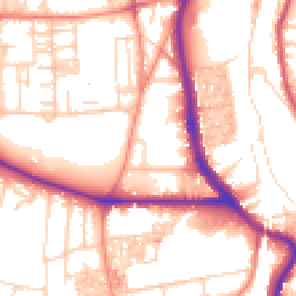
Daytime· 07:00 – 23:00
54.8dB

Night-time· 23:00 – 07:00
44.1dB