11 St Albans Croft, Halifax, HX3 0AZ
About 11 St Albans Croft
11 St Albans Croft is a property in Halifax (HX3 0AZ). It has council tax band A.
One planning record on file: new windows approved in 2017. Past consents include new windows, meaningful when judging how the property has evolved.
Energy performance
No EPC on record
This property doesn't have an Energy Performance Certificate yet. An EPC is required to sell or let — and unlocks our automated valuation.
Get a survey for this property
Level 2 HomeBuyer Report
We've checked 10 risk factors against the available data for this property and believe a Level 2 HomeBuyer Report could be a suitable option for you.
Planning history
- Sept 2017RenovationFullOutcome in report
Replacement of existing windows and doors with new PVCu windows, composite front doors and PVCu rear doors
New Windows- Documents
- 12 docs on file
- Reference
- 17/00850/HSE
Similar properties nearby
The neighbourhood at a glance
Reported crime in the wider district is trending notably upward year-on-year.
Crime
3/mo
Rising year-on-year across the wider district.
Nearest stop
0.1 km
Stafford Road — bus stop.
Closest school
0.1 km
Salterhebble Junior and Infant School. 24 schools nearby.
Road noise across the postcode
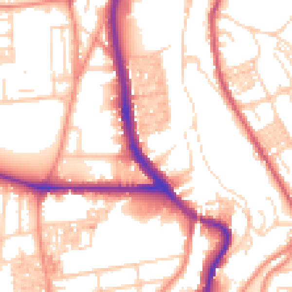
Daytime· 07:00 – 23:00
54.8dB

Night-time· 23:00 – 07:00
44.3dB