66 Corona Drive, Hull, HU8 0HA
About 66 Corona Drive
66 Corona Drive is a two-bedroom semi-detached house in Hull (HU8 0HA). It has a recorded floor area of 68 m² (around 732 sq ft), construction records dating it to 1976-1982 and council tax band B. The latest certificate (September 2013) shows a D (score 62), on the cusp of jumping into the C band. The recommended improvements would lift it to B (score 84), a 2-band jump. The latest certificate is from September 2013, so improvements made since then won't be reflected. Other recorded features include a conservatory and a loft.
Across 2006–2013, sale prices on this property compounded at -0.7% per year. Today's modelled estimate of £168,000 is 36.6% above the 2013 sale price. On a £-per-square-foot basis, the last sale (£168/sq ft) was about 28.1% above the typical sold price in the postcode. Last sold in November 2013, so it's been off the market for around 13 years. At 68 m² it's 19% smaller than the typical home in the postcode (84 m² median across 12 EPCs).
What this property has
Inside
- Bedrooms2
- Dining roomYes
- LoftYes
- ConservatoryYes
Outside
- GarageYes
Building
- RefurbishedYes
Everything you need to know about 66 Corona Drive
The true value, the hidden risks and the full sale history, in one report.
Pick your report · every report is £14.99
One time fee only - money back guarantee

The data behind every report


Energy performance
Recommended upgrades on file would lift this property by multiple EPC bands.
EPC Expired
This certificate is over 10 years old and is no longer valid.Expired 17 Sept 2023
EPC Rating
Get a survey for this property
Level 2 HomeBuyer Report
We've checked 10 risk factors against the available data for this property and believe a Level 2 HomeBuyer Report could be a suitable option for you.
From £495 · Includes VAT
Planning history
66 Corona Drive has no planning applications on record.
But the area is active
4 notable applications nearby — larger schemes and conversions that could reshape the street. The report maps them all.
Sales history & valuation
66 Corona Drive saw 3 transfers in just over a decade — high turnover for the postcode.
£168,000
Modelled from EPC, postcode comparables and a sale-price growth of -0.7% per year over 8 years.
£123,000
Growth on file: -0.7% per year over 8 years.
Sales timeline
15 November 2013Most recent
£123,000
-17.4%over 6 years17 May 2007
£149,000
+14.7%over 1 year17 March 2006
£129,950
Median price across the last 5 sales in HU8 0HA: £155,000 (2023–2017).
Versus other Corona Drive homes
On epc rating, 66 Corona Drive runs well behind the street norm.
Price per m²
£1,809
Street avg £1,508
Floor Area
68 m²
Street avg 85 m²
Habitable Rooms
4 rooms
Street avg 5 rooms
CO₂ Emissions
3.2 t/year
Street avg 3.3 t/year
Everything you need to know about 66 Corona Drive
The true value, the hidden risks and the full sale history, in one report.
Pick your report · every report is £14.99
One time fee only - money back guarantee
The data behind every report
Similar properties nearby
The neighbourhood at a glance
Crime
6/mo
Steady year-on-year across the wider district.
Nearest stop
0.2 km
Lambwath Road — bus stop.
Closest school
0.5 km
East Park Primary School. 31 schools nearby.
Go deeper on the local area
A Local Area report breaks down crime, transport links, schools and air quality in depth.
Road noise across the postcode
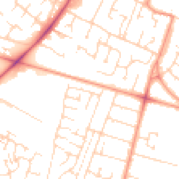
Daytime· 07:00 – 23:00
50.2dB

Night-time· 23:00 – 07:00
38.9dB