15 Coles Hill, Hemel Hempstead, HP1 3JN
About 15 Coles Hill
15 Coles Hill is a three-bedroom end-of-terrace house in Hemel Hempstead (HP1 3JN). It has a recorded floor area of 81 m² (around 876 sq ft), construction records dating it to 1967-1975 and council tax band C. The latest certificate (November 2011) shows a C (score 72). The latest certificate is from November 2011, so improvements made since then won't be reflected. Records show the property has been extended at some point in its history.
Today's modelled estimate of £383,000 is 23.5% above the 2021 sale price. Last sale on file: £310,000 in September 2021. That sale was during the post-pandemic price surge, when transactions cleared materially above pre-2020 trend.
What this property has
Inside
- Bedrooms3
- Bathrooms1
- Dining roomYes
- CloakroomYes
Outside
- Private gardenRear
- ParkingOff road
Building
- Heating systemGas
- Previously extendedYes
- RefurbishedYes
Everything you need to know about 15 Coles Hill
The true value, the hidden risks and the full sale history, in one report.
Pick your report · every report is £14.99
One time fee only - money back guarantee

The data behind every report


Energy performance
15 Coles Hill's EPC is over a decade old — improvements since won't be reflected.
EPC Expired
This certificate is over 10 years old and is no longer valid.Expired 18 Nov 2021
EPC Rating
Get a survey for this property
Level 2 HomeBuyer Report
We've checked 10 risk factors against the available data for this property and believe a Level 2 HomeBuyer Report could be a suitable option for you.
From £595 · Includes VAT
Planning history
15 Coles Hill has no planning applications on record.
But the area is active
1 notable application nearby — larger schemes and conversions that could reshape the street. The report maps them all.
Sales history & valuation
The latest sale landed in the post-pandemic price surge — useful context when reading the figure.
£383,000
Modelled from EPC, postcode comparables.
£310,000
Recorded with HM Land Registry.
Sales timeline
9 September 2021Most recent
£310,000
Median price across the last 5 sales in HP1 3JN: £440,000 (2023–2022).
Nearby sales in HP1 3JN
Versus other Coles Hill homes
CO₂ Emissions for 15 Coles Hill runs comfortably ahead of the street norm.
Price per m²
£3,807
Street avg £3,992
Floor Area
81 m²
Street avg 90 m²
Habitable Rooms
5 rooms
Street avg 5 rooms
CO₂ Emissions
2.6 t/year
Street avg 3.9 t/year
Everything you need to know about 15 Coles Hill
The true value, the hidden risks and the full sale history, in one report.
Pick your report · every report is £14.99
One time fee only - money back guarantee
The data behind every report
Similar properties nearby
1 Gade Valley Cottages, Dagnall Road, Great Gaddesden
HP1 3BW
1 Coulser Close
HP1 3NU
1 Fallowfield Walk
HP1 3NZ
1 Bards Corner
HP1 3RR
1 Hasedines Road
HP1 3RA
1 Church Meadow, Great Gaddesden
HP1 3BS
1 Bodwell Close
HP1 3RG
1 Betjeman Way
HP1 3HH
The neighbourhood at a glance
Daytime road noise here sits well below conversation level — a quiet pocket of the postcode.
Crime
16/mo
Steady year-on-year across the wider district.
Nearest stop
0.1 km
Marnham Rise — bus stop.
Closest school
0.1 km
Galley Hill Primary School and Nursery. 25 schools nearby.
Go deeper on the local area
A Local Area report breaks down crime, transport links, schools and air quality in depth.
Road noise across the postcode
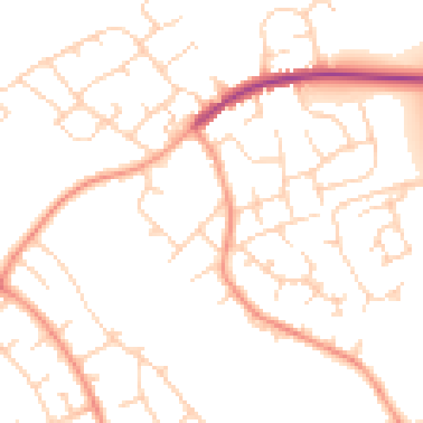
Daytime· 07:00 – 23:00
49.1dB

Night-time· 23:00 – 07:00
39.4dB