116 Penistone Road, Waterloo, Huddersfield, HD5 8RN
About 116 Penistone Road
116 Penistone Road is a property in Waterloo, Huddersfield, Huddersfield (HD5 8RN). It has council tax band D.
It hasn't traded since December 2003, a hold of 22 years that's notably long for the area. Across 1999–2003, sale prices on this property compounded at 18.3% per year.
Everything you need to know about 116 Penistone Road
The true value, the hidden risks and the full sale history, in one report.
Pick your report · every report is £14.99
One time fee only - money back guarantee

The data behind every report


Energy performance
No EPC on record
This property doesn't have an Energy Performance Certificate yet. An EPC is required to sell or let — and unlocks our automated valuation.
Get a survey for this property
Level 2 HomeBuyer Report
We've checked 10 risk factors against the available data for this property and believe a Level 2 HomeBuyer Report could be a suitable option for you.
Planning history
116 Penistone Road has no planning applications on record.
But the area is active
5 notable applications nearby — larger schemes and conversions that could reshape the street. The report maps them all.
Sales history & valuation
116 Penistone Road has more than doubled in price since the earliest registered sale in 1999.
£141,000
Growth on file: 18.3% per year over 4 years.
Sales timeline
5 December 2003Most recent
£141,000
+83.1%over 9 months28 February 2003
£77,000
+15.8%over 3 years13 June 1999
£66,500
Median price across the last 5 sales in HD5 8RN: £175,000 (2024–2022).
Nearby sales in HD5 8RN
114 Penistone Road, Waterloo, Huddersfield, HD5 8RN
Sold Nov 2024
£154,687112 Penistone Road, Waterloo, Huddersfield, HD5 8RN
Sold Sept 2024
£175,000152 Penistone Road, Waterloo, Huddersfield, HD5 8RN
Sold Jul 2024
£243,100122 Penistone Road, Waterloo, Huddersfield, HD5 8RN
Sold May 2024
£255,000106 Penistone Road, Waterloo, Huddersfield, HD5 8RN
Sold Mar 2022
£130,000
Everything you need to know about 116 Penistone Road
The true value, the hidden risks and the full sale history, in one report.
Pick your report · every report is £14.99
One time fee only - money back guarantee
The data behind every report
Similar properties nearby
The neighbourhood at a glance
Crime
2/mo
Steady year-on-year across the wider district.
Nearest stop
0.0 km
Mereside — bus stop.
Closest school
0.8 km
Hill View Academy. 14 schools nearby.
Go deeper on the local area
A Local Area report breaks down crime, transport links, schools and air quality in depth.
Road noise across the postcode
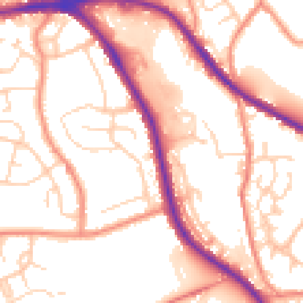
Daytime· 07:00 – 23:00
54.4dB

Night-time· 23:00 – 07:00
44.0dB