7 Broadgates Farm, Lowerhouses, Huddersfield, HD5 8JS
About 7 Broadgates Farm
7 Broadgates Farm is an end-of-terrace house in Lowerhouses, Huddersfield, Huddersfield (HD5 8JS). It has a recorded floor area of 94 m² (around 1012 sq ft), construction records dating it to before 1900 and council tax band C. The latest certificate (December 2008) shows an E (score 52), well below the UK norm with real room to improve. The recommended improvements would push it to D (score 61). The latest certificate is from December 2008, so improvements made since then won't be reflected.
One historical planning record sits against the property in 2009.
Everything you need to know about 7 Broadgates Farm
The true value, the hidden risks and the full sale history, in one report.
Pick your report · every report is £14.99
One time fee only - money back guarantee

The data behind every report


Energy performance
7 Broadgates Farm's EPC is over a decade old — improvements since won't be reflected.
EPC Expired
This certificate is over 10 years old and is no longer valid.Expired 22 Dec 2018
EPC Rating
Get a survey for this property
Level 3 Building Survey
Because the property was built before 1919, we believe a Level 3 building survey should be considered.
From £885 · Includes VAT
Planning history
1 application on record at 7 Broadgates Farm, Lowerhouses, Huddersfield, HD5 8JS
- Sept 2009ExtensionFullOutcome in report
Extension: Two storey
Erection of 2 Storey Extension and Detached Garage
- Documents
- 9 docs on file
- Reference
- 2009/90382
Unlock 7 Broadgates Farm, Lowerhouses, Huddersfield, HD5 8JS's full planning history
You're seeing the shape of it. The report has the substance.
- Every decision — granted, refused or withdrawn (1 on record)
- All 1 application on this property in full, plus 5 notable nearby
- The 9 documents, officer reports & conditions
- What the pattern means for extending or converting here
One time fee only - money back guarantee
Sales history & valuation
7 Broadgates Farm has no Land Registry sales on file, suggesting it has stayed in the same hands since registration began.
£205,000
Modelled from EPC, postcode comparables.
No sales recorded with HM Land Registry
That can mean the property has never traded since the registry began publishing in 1995, was a new build that hasn't been registered yet, or is held in the same hands long-term.
Median price across the last 1 sales in HD5 8JS: £120,000 (2003–2003).
Nearby sales in HD5 8JS
Everything you need to know about 7 Broadgates Farm
The true value, the hidden risks and the full sale history, in one report.
Pick your report · every report is £14.99
One time fee only - money back guarantee
The data behind every report
Similar properties nearby
The neighbourhood at a glance
Daytime road noise here sits well below conversation level — a quiet pocket of the postcode.
Crime
2/mo
Steady year-on-year across the wider district.
Nearest stop
0.1 km
Dog Kennel Bank Hall Cross Rd — bus stop.
Closest school
0.4 km
Lowerhouses CofE Primary School. 22 schools nearby.
Go deeper on the local area
A Local Area report breaks down crime, transport links, schools and air quality in depth.
Road noise across the postcode
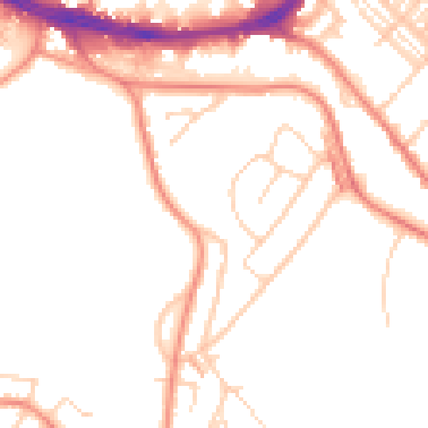
Daytime· 07:00 – 23:00
49.3dB

Night-time· 23:00 – 07:00
39.5dB