28 West Close, Huddersfield, HD2 1BZ
About 28 West Close
28 West Close is a two-bedroom semi-detached house in Huddersfield (HD2 1BZ). It has a recorded floor area of 69 m² (around 743 sq ft), construction records dating it to 1930-1949 and council tax band B. The latest certificate (October 2013) shows a D (score 67), on the cusp of jumping into the C band. The recommended improvements would lift it to B (score 84), a 2-band jump. The latest certificate is from October 2013, so improvements made since then won't be reflected.
Today's modelled estimate of £172,000 is 44.5% above the 2014 sale price. On a £-per-square-foot basis, the last sale (£160/sq ft) was about 230% above the typical sold price in the postcode. Last sold in June 2014, so it's been off the market for around 12 years. At 69 m² it's 27.9% smaller than the typical home in the postcode (96 m² median across 4 EPCs).
What this property has
Inside
- Bedrooms2
- Dining roomYes
Outside
- Private gardenYes
- GarageYes
Building
- Central heatingYes
Everything you need to know about 28 West Close
The true value, the hidden risks and the full sale history, in one report.
Pick your report · every report is £14.99
One time fee only - money back guarantee

The data behind every report


Energy performance
Recommended upgrades on file would lift this property by multiple EPC bands.
EPC Expired
This certificate is over 10 years old and is no longer valid.Expired 03 Oct 2023
EPC Rating
Get a survey for this property
Level 2 HomeBuyer Report
We've checked 10 risk factors against the available data for this property and believe a Level 2 HomeBuyer Report could be a suitable option for you.
From £495 · Includes VAT
Planning history
28 West Close has no planning applications on record.
But the area is active
1 notable application nearby — larger schemes and conversions that could reshape the street. The report maps them all.
Sales history & valuation
28 West Close valuation sits well clear of the typical sold price in this postcode.
£172,000
Modelled from EPC, postcode comparables.
£119,000
Recorded with HM Land Registry.
Sales timeline
26 June 2014Most recent
£119,000
Median price across the last 5 sales in HD2 1BZ: £139,950 (2025–2007).
Nearby sales in HD2 1BZ
Versus other West Close homes
28 West Close outperforms the street on epc rating by a wide margin.
Price per m²
£1,725
Street avg £663
Floor Area
69 m²
Street avg 101 m²
Habitable Rooms
4 rooms
Street avg 5 rooms
CO₂ Emissions
2.8 t/year
Street avg 5.0 t/year
Everything you need to know about 28 West Close
The true value, the hidden risks and the full sale history, in one report.
Pick your report · every report is £14.99
One time fee only - money back guarantee
The data behind every report
Similar properties nearby
The neighbourhood at a glance
Reported crime in the wider district is trending notably upward year-on-year.
Crime
5/mo
Rising year-on-year across the wider district.
Nearest stop
0.2 km
Ashbrow Rd Central Avenue — bus stop.
Closest school
0.4 km
Ashbrow School. 24 schools nearby.
Go deeper on the local area
A Local Area report breaks down crime, transport links, schools and air quality in depth.
Road noise across the postcode
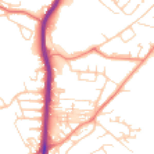
Daytime· 07:00 – 23:00
51.5dB

Night-time· 23:00 – 07:00
40.6dB