9 South Avenue, Fartown, Huddersfield, HD2 1BY
About 9 South Avenue
9 South Avenue is a semi-detached house in Fartown, Huddersfield, Huddersfield (HD2 1BY). It has a recorded floor area of 67 m² (around 721 sq ft), construction records dating it to 1930-1949 and council tax band B. The latest certificate (February 2014) shows a D (score 68), on the cusp of jumping into the C band. The recommended improvements would lift it to B (score 85), a 2-band jump. The latest certificate is from February 2014, so improvements made since then won't be reflected.
Across 2005–2016, sale prices on this property compounded at -1.8% per year. Today's modelled estimate of £161,000 sits 53.3% above the 2016 sale of £105,000. On a £-per-square-foot basis, the last sale (£146/sq ft) was about 33.7% above the typical sold price in the postcode. On the market in November 2016 and unlisted since — roughly 10 years.
Everything you need to know about 9 South Avenue
The true value, the hidden risks and the full sale history, in one report.
Pick your report · every report is £14.99
One time fee only - money back guarantee

The data behind every report


Energy performance
Recommended upgrades on file would lift this property by multiple EPC bands.
EPC Expired
This certificate is over 10 years old and is no longer valid.Expired 21 Feb 2024
EPC Rating
Get a survey for this property
Level 2 HomeBuyer Report
We've checked 10 risk factors against the available data for this property and believe a Level 2 HomeBuyer Report could be a suitable option for you.
From £495 · Includes VAT
Planning history
9 South Avenue has no planning applications on record.
But the area is active
1 notable application nearby — larger schemes and conversions that could reshape the street. The report maps them all.
Sales history & valuation
9 South Avenue's sale-price growth has lagged the wider UK trajectory across its history on file.
£161,000
Modelled from EPC, postcode comparables and a sale-price growth of -1.8% per year over 12 years.
£105,000
Growth on file: -1.8% per year over 12 years.
Sales timeline
18 November 2016Most recent
£105,000
-19.2%over 11 years14 April 2005
£129,950
Median price across the last 5 sales in HD2 1BY: £130,000 (2024–2020).
Nearby sales in HD2 1BY
37 South Avenue, Fartown, Huddersfield, HD2 1BY
Sold Dec 2024
£117,00014 South Avenue, Fartown, Huddersfield, HD2 1BY
Sold Oct 2024
£130,00013 South Avenue, Fartown, Huddersfield, HD2 1BY
Sold Aug 2022
£150,00024 South Avenue, Fartown, Huddersfield, HD2 1BY
Sold Apr 2020
£16545 South Avenue, Fartown, Huddersfield, HD2 1BY
Sold Feb 2020
£130,000
Versus other South Avenue homes
CO₂ Emissions for 9 South Avenue runs comfortably ahead of the street norm.
Price per m²
£1,567
Street avg £1,315
Floor Area
67 m²
Street avg 70 m²
Habitable Rooms
5 rooms
Street avg 4 rooms
CO₂ Emissions
2.6 t/year
Street avg 3.5 t/year
Everything you need to know about 9 South Avenue
The true value, the hidden risks and the full sale history, in one report.
Pick your report · every report is £14.99
One time fee only - money back guarantee
The data behind every report
Similar properties nearby
The neighbourhood at a glance
Reported crime in the wider district is trending notably upward year-on-year.
Crime
5/mo
Rising year-on-year across the wider district.
Nearest stop
0.2 km
Ashbrow Rd Central Avenue — bus stop.
Closest school
0.4 km
Ashbrow School. 21 schools nearby.
Go deeper on the local area
A Local Area report breaks down crime, transport links, schools and air quality in depth.
Road noise across the postcode
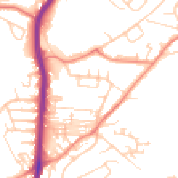
Daytime· 07:00 – 23:00
51.3dB
Night-time· 23:00 – 07:00
40.5dB