9 Ballroyd Road, Huddersfield, HD2 1AN
About 9 Ballroyd Road
9 Ballroyd Road is a two-bedroom end-of-terrace house in Huddersfield (HD2 1AN). It has a recorded floor area of 67 m² (around 721 sq ft), construction records dating it to 1950-1966 and council tax band A. Tenure is freehold. The latest certificate (July 2019) shows a D (score 60), on the cusp of jumping into the C band. The recommended improvements would lift it to B (score 86), a 2-band jump.
Across 2007–2020, sale prices on this property compounded at -2.6% per year. Today's modelled estimate of £125,000 sits 108.3% above the 2020 sale of £60,000. On a £-per-square-foot basis, the last sale (£83/sq ft) was about 17.8% above the typical sold price in the postcode. Last sale on file: £60,000 in December 2020.
What this property has
Inside
- Bedrooms2
- Bathrooms1
Outside
- Private gardenYes
Building
- TenureFreehold
- RefurbishedYes
Everything you need to know about 9 Ballroyd Road
The true value, the hidden risks and the full sale history, in one report.
Pick your report · every report is £14.99
One time fee only - money back guarantee

The data behind every report


Energy performance
Recommended upgrades on file would lift this property by multiple EPC bands.
EPC Rating
Get a survey for this property
Level 2 HomeBuyer Report
We've checked 10 risk factors against the available data for this property and believe a Level 2 HomeBuyer Report could be a suitable option for you.
From £495 · Includes VAT
Planning history
9 Ballroyd Road has no planning applications on record.
But the area is active
1 notable application nearby — larger schemes and conversions that could reshape the street. The report maps them all.
Sales history & valuation
9 Ballroyd Road's sale-price growth has lagged the wider UK trajectory across its history on file.
£125,000
Modelled from EPC, postcode comparables and a sale-price growth of -2.6% per year over 13 years.
£60,000
Growth on file: -2.6% per year over 13 years.
Sales timeline
2 December 2020Most recent
£60,000
-29.4%over 13 years2 November 2007
£85,000
Median price across the last 5 sales in HD2 1AN: £80,000 (2023–2021).
Nearby sales in HD2 1AN
Versus other Ballroyd Road homes
9 Ballroyd Road is notably below the street on epc rating.
Price per m²
£896
Street avg £915
Floor Area
67 m²
Street avg 82 m²
Habitable Rooms
4 rooms
Street avg 4 rooms
CO₂ Emissions
3.8 t/year
Street avg 3.8 t/year
Everything you need to know about 9 Ballroyd Road
The true value, the hidden risks and the full sale history, in one report.
Pick your report · every report is £14.99
One time fee only - money back guarantee
The data behind every report
Similar properties nearby
The neighbourhood at a glance
Reported crime in the wider district is trending notably upward year-on-year.
Crime
5/mo
Rising year-on-year across the wider district.
Nearest stop
0.1 km
Pollard Street — bus stop.
Closest school
0.6 km
North Huddersfield Trust School. 23 schools nearby.
Go deeper on the local area
A Local Area report breaks down crime, transport links, schools and air quality in depth.
Road noise across the postcode
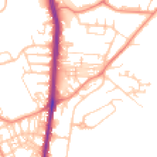
Daytime· 07:00 – 23:00
51.2dB

Night-time· 23:00 – 07:00
40.1dB