103 Fartown Green Road, Huddersfield, HD2 1AF
About 103 Fartown Green Road
103 Fartown Green Road is a three-bedroom mid-terrace house in Huddersfield (HD2 1AF). It has a recorded floor area of 97 m² (around 1044 sq ft), construction records dating it to 1900-1929 and council tax band B. The latest certificate (April 2016) shows an E (score 54), well below the UK norm with real room to improve. The rating has held steady at E across 4 certificates since March 2015. Between certificates, window efficiency dropped from Average to Poor and lighting dropped from Good to Average. The recommended improvements would lift it to B (score 84), a 3-band jump. The latest certificate is from April 2016, so improvements made since then won't be reflected.
Held since April 1998 — that's 28 years off the open market, well above the local norm. Only one transfer is on record with HM Land Registry, suggesting it has stayed in the same hands for a long time. At 97 m² the property is well over the postcode median (68 m² across 17 EPCs), placing it in the larger end of the local stock. Today's modelled estimate of £153,000 sits 313.5% above the 1998 sale of £37,000. On a £-per-square-foot basis, the last sale (£35/sq ft) was about 44.3% below the postcode norm.
What this property has
Inside
- Bedrooms3
Building
- Heating systemGas
Everything you need to know about 103 Fartown Green Road
The true value, the hidden risks and the full sale history, in one report.
Pick your report · every report is £14.99
One time fee only - money back guarantee

The data behind every report


Energy performance
Recommended upgrades on file would lift this property by multiple EPC bands.
EPC Expired
This certificate is over 10 years old and is no longer valid.Expired 04 Apr 2026
EPC Rating
Property Improvements
Changes detected from historical EPC data
Low energy lighting percentage decreased
Ventilation system changed
Loft insulation upgraded to recommended levels
Get a survey for this property
Level 3 Building Survey
Because the property was built before 1919, we believe a Level 3 building survey should be considered.
From £820 · Includes VAT
Planning history
103 Fartown Green Road has no planning applications on record.
But the area is active
1 notable application nearby — larger schemes and conversions that could reshape the street. The report maps them all.
Sales history & valuation
103 Fartown Green Road's modelled value sits at over four times its earliest registered sale price (1998).
£153,000
Modelled from EPC, postcode comparables.
£37,000
Recorded with HM Land Registry.
Sales timeline
2 April 1998Most recent
£37,000
Median price across the last 5 sales in HD2 1AF: £65,000 (2025–2019).
Nearby sales in HD2 1AF
89 Fartown Green Road, Huddersfield, HD2 1AF
Sold Aug 2025
£60,00065 Fartown Green Road, Huddersfield, HD2 1AF
Sold Dec 2020
£83,00047 Fartown Green Road, Huddersfield, HD2 1AF
Sold Jan 2020
£84,00099 Fartown Green Road, Huddersfield, HD2 1AF
Sold Oct 2016
£39,99995 Fartown Green Road, Huddersfield, HD2 1AF
Sold Feb 2016
£76,500
Versus other Fartown Green Road homes
Floor Area for 103 Fartown Green Road runs comfortably ahead of the street norm.
Price per m²
£381
Street avg £796
Floor Area
97 m²
Street avg 73 m²
Habitable Rooms
6 rooms
Street avg 4 rooms
CO₂ Emissions
5.8 t/year
Street avg 4.0 t/year
Everything you need to know about 103 Fartown Green Road
The true value, the hidden risks and the full sale history, in one report.
Pick your report · every report is £14.99
One time fee only - money back guarantee
The data behind every report
Similar properties nearby
The neighbourhood at a glance
Reported crime in the wider district is trending notably upward year-on-year.
Crime
5/mo
Rising year-on-year across the wider district.
Nearest stop
0.0 km
Pollard Street — bus stop.
Closest school
0.6 km
Birkby Junior School. 24 schools nearby.
Go deeper on the local area
A Local Area report breaks down crime, transport links, schools and air quality in depth.
Road noise across the postcode
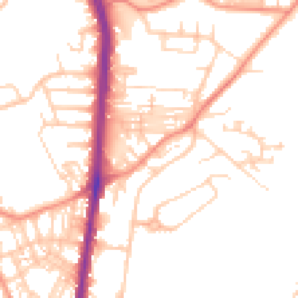
Daytime· 07:00 – 23:00
51.0dB

Night-time· 23:00 – 07:00
40.0dB