61a, Flat 1, Station Road, North Harrow, Harrow, HA2 7SR
About 61a
61a is an end-of-terrace house in North Harrow, Harrow, Harrow (HA2 7SR). It has a recorded floor area of 58 m² (around 624 sq ft). The latest certificate (January 2016) shows a C (score 76), near the top of the C band. The latest certificate is from January 2016, so improvements made since then won't be reflected.
Untraded for 28 years, with the last transfer in December 1997. Only one transfer is on record with HM Land Registry, suggesting it has stayed in the same hands for a long time. Today's modelled estimate of £263,000 sits 237.2% above the 1997 sale of £78,000. On a £-per-square-foot basis, the last sale (£125/sq ft) was about 30.2% below the postcode norm.
Know exactly what you're buying at 61a
Before you offer, see what the listing won't tell you, the true value, the red flags and the full history.
Already flagged here
Valuation
against the asking price
Risks
planning & flood
Sold prices
similar homes nearby
Trends
the local market
Energy performance
EPC Expired
This certificate is over 10 years old and is no longer valid.Expired 06 Jan 2026
EPC Rating
Planning history
61a has no planning applications on record.
Notable planning nearby
7applications of note in the surrounding area
We flagged 1 thing worth checking at 61a
Independent checks surfaced things a buyer would want to understand before offering. The report explains each one in full, with the underlying data and what to ask.
- Signs of HMO activity in the area
30-day money-back guarantee
Sales history & valuation
61a's estimated value is more than triple its earliest registered sale price (1997).
£263,000
Modelled from EPC, postcode comparables.
£78,000
Recorded with HM Land Registry.
Sales timeline
19 December 1997Most recent
£78,000
Median price across the last 5 sales in HA2 7SR: £290,000 (2018–2000).
Nearby sales in HA2 7SR
Everything we know about 61a, in one report
What it's really worth, what could be wrong, and the planning, sales and area data in full.
What we flagged
- Signs of HMO activity in the area

Versus other Station Road homes
On epc rating, 61a stands well clear of the street.
EPC Rating
76 (C)
Street avg 65 (D)
Floor Area
58 m²
Street avg 60 m²
CO₂ Emissions
1.6 t/year
Street avg 3.0 t/year
Similar properties nearby
33b, Flat 1, Imperial Drive
HA2 7DT
33a, Flat 1, Imperial Drive
HA2 7DT
Broad House 175 205, Flat 102, Imperial Drive
HA2 7BL
Broad House 175 205, Flat 103, Imperial Drive
HA2 7BL
Broad House 175 205, Flat 104, Imperial Drive
HA2 7BL
Broad House 175 205, Flat 105, Imperial Drive
HA2 7BL
Broad House 175 205, Flat 106, Imperial Drive
HA2 7BL
Broad House 175 205, Flat 100, Imperial Drive
HA2 7BL
The neighbourhood at a glance
Rail-style transport is unusually close for this postcode.
Crime
6/mo
Rising year-on-year across the wider district.
Nearest stop
0.1 km
North Harrow Underground Station — subway entrance.
Closest school
0.7 km
Nower Hill High School. 35 schools nearby.
Go deeper on the local area
The full report breaks down crime, transport links, schools and air quality in depth.
Road noise across the postcode
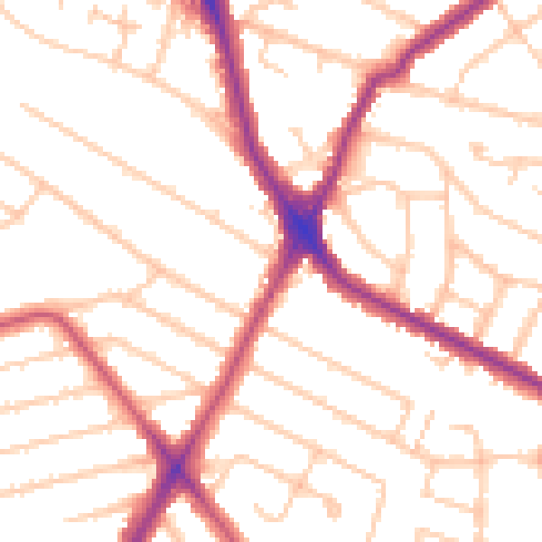
Daytime· 07:00 – 23:00
51.1dB

Night-time· 23:00 – 07:00
41.5dB