5 Barmor Close, Harrow, HA2 6NX
About 5 Barmor Close
5 Barmor Close is a three-bedroom detached house in Harrow (HA2 6NX). It has a recorded floor area of 88 m² (around 947 sq ft), construction records dating it to 1967-1975 and council tax band F. The latest certificate (February 2021) shows a D (score 61), on the cusp of jumping into the C band. The recommended improvements would lift it to B (score 82), a 2-band jump.
Untraded for 20 years, with the last transfer in September 2006. Today's modelled estimate of £616,000 sits 92.5% above the 2006 sale of £320,000. On a £-per-square-foot basis, the last sale (£338/sq ft) was about 21.8% below the postcode norm.
Know exactly what you're buying at 5 Barmor Close
Before you offer, see what the listing won't tell you, the true value, the red flags and the full history.
Already flagged here
Valuation
against the asking price
Risks
planning & flood
Sold prices
similar homes nearby
Trends
the local market
What this property has
Inside
- Bedrooms3
- CloakroomYes
Outside
- GarageYes
Energy performance
Recommended upgrades on file would lift this property by multiple EPC bands.
EPC Rating
Planning history
5 Barmor Close has no planning applications on record.
Notable planning nearby
3applications of note in the surrounding area
We flagged 1 thing worth checking at 5 Barmor Close
Independent checks surfaced things a buyer would want to understand before offering. The report explains each one in full, with the underlying data and what to ask.
- Larger development activity nearby
30-day money-back guarantee
Sales history & valuation
5 Barmor Close valuation sits well clear of the typical sold price in this postcode.
£616,000
Modelled from EPC, postcode comparables.
£320,000
Recorded with HM Land Registry.
Sales timeline
19 September 2006Most recent
£320,000
Median price across the last 5 sales in HA2 6NX: £585,000 (2024–2007).
Everything we know about 5 Barmor Close, in one report
What it's really worth, what could be wrong, and the planning, sales and area data in full.
What we flagged
- Larger development activity nearby

Versus other Barmor Close homes
On epc rating, 5 Barmor Close runs well behind the street norm.
Price per m²
£3,636
Street avg £4,447
Floor Area
88 m²
Street avg 100 m²
Habitable Rooms
4 rooms
Street avg 5 rooms
CO₂ Emissions
4.1 t/year
Street avg 3.3 t/year
Similar properties nearby
The neighbourhood at a glance
Rail-style transport is unusually close for this postcode.
Crime
6/mo
Rising year-on-year across the wider district.
Nearest stop
0.1 km
Parkfield Avenue — bus stop.
Closest school
0.4 km
Pinner Park Primary School. 27 schools nearby.
Go deeper on the local area
The full report breaks down crime, transport links, schools and air quality in depth.
Road noise across the postcode
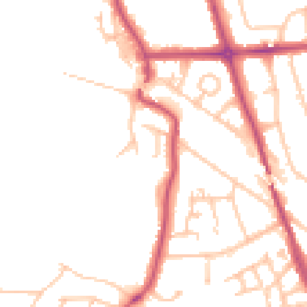
Daytime· 07:00 – 23:00
49.2dB

Night-time· 23:00 – 07:00
38.7dB