Belmont, Mount Park Avenue, Harrow, HA1 3JW
About Belmont
Belmont is a seven-bedroom detached house in Harrow (HA1 3JW). It has a recorded floor area of 299 m² (around 3218 sq ft), construction records dating it to before 1900 and council tax band H. The latest certificate (February 2017) shows an E (score 53), well below the UK norm with real room to improve. The recommended improvements would lift it to C (score 76), a 2-band jump.
At 299 m² the property is well over the postcode median (115 m² across 11 EPCs), placing it in the larger end of the local stock. It lags the bulk of the postcode on energy efficiency (less efficient than 73% of similar EPCs). 7 bedrooms is on the larger side for this postcode, where 3 is the typical count. 2 planning records sit against the property, 2 approved, 0 refused. Past consents include tree works, meaningful when judging how the property has evolved. On a £-per-square-foot basis, the last sale (£559/sq ft) was about 34.7% above the typical sold price in the postcode. Last sale on file: £1,800,000 in August 2020.
Know exactly what you're buying at Belmont
Before you offer, see what the listing won't tell you, the true value, the red flags and the full history.
Already flagged here
Valuation
against the asking price
Risks
planning & flood
Sold prices
similar homes nearby
Trends
the local market
What this property has
Inside
- Bedrooms7
- Bathrooms3
- CloakroomYes
- EnsuiteYes
Outside
- Private gardenYes
- DrivewayYes
Building
- RefurbishedYes
Energy performance
Belmont's carbon output runs well above what efficient homes in the postcode produce.
EPC Rating
Planning history
Planning history at Belmont is exclusively tree-management applications — typical for a property with mature trees on or near the plot.
- Mar 2025Tree WorksTreesIn report
TPO No. 43 Mount Park (No.1) Harrow on the Hill T5 (T1) Black Pine (front): Reduce lateral overhang by up to 1.5m to give a 2m clearance from building. Target prune lowest lateral branch growing towards neighbouring properties by 1.5m to reduce sail / form etc. Remove moderate – major deadwood (20mm and above).
- Reference
- PL/0599/25
- Jul 2021Tree WorksTreesIn report
T1 Pine (front garden): Remove deadwood and target prune over extended laterals removing up to 2m to form a balanced crown
- Documents
- 5 docs on file
- Reference
- P/2114/21
We flagged 1 thing worth checking at Belmont
Independent checks surfaced things a buyer would want to understand before offering. The report explains each one in full, with the underlying data and what to ask.
- Larger development activity nearby
30-day money-back guarantee
Sales history & valuation
Latest sale on Belmont was the highest on Land Registry record across the postcode.
£1,963,000
Modelled from EPC, postcode comparables.
£1,800,000
Recorded with HM Land Registry.
Sales timeline
24 August 2020Most recent
£1,800,000
Median price across the last 5 sales in HA1 3JW: £1,250,000 (2024–2007).
Nearby sales in HA1 3JW
Brooksfield, Mount Park Avenue, Harrow, HA1 3JW
Sold Mar 2024
£1,380,0002 Mount Lodge, Mount Park Avenue, Harrow, HA1 3JW
Sold Nov 2021
£1,250,000Thornlea, Flat 3, Mount Park Avenue, Harrow, HA1 3JW
Sold Nov 2012
£570,000Kelburn House, Mount Park Avenue, Harrow, HA1 3JW
Sold Feb 2011
£1,390,000Thornlea, Flat 1, Mount Park Avenue, Harrow, HA1 3JW
Sold Apr 2007
£515,000
Everything we know about Belmont, in one report
What it's really worth, what could be wrong, and the planning, sales and area data in full.
What we flagged
- Larger development activity nearby

Versus other Mount Park Avenue homes
EPC Rating for Belmont lags the street by a wide margin.
Price per m²
£6,020
Street avg £6,611
Floor Area
299 m²
Street avg 202 m²
Habitable Rooms
13 rooms
Street avg 8 rooms
CO₂ Emissions
14.0 t/year
Street avg 8.5 t/year
Similar properties nearby
1 Arden Close
HA1 3LA
1 Deyne Court, Harrow Park
HA1 3JE
1 Heritage View
HA1 3TN
1 Georgian Way
HA1 3LF
1 Green Cottages, Watford Road
HA1 3TS
1 Andrews Close
HA1 3GE
1 Elmfield Cottage, Grove Hill
HA1 3HE
1 Highlawn House, Sudbury Hill
HA1 3NA
The neighbourhood at a glance
Rail-style transport is unusually close for this postcode.
Crime
28/mo
Steady year-on-year across the wider district.
Nearest stop
0.2 km
Roxeth Hill — bus stop.
Closest school
0.1 km
St Dominic's Sixth Form College. 28 schools nearby.
Go deeper on the local area
The full report breaks down crime, transport links, schools and air quality in depth.
Road noise across the postcode
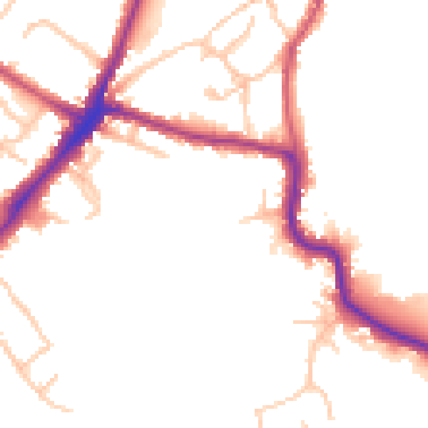
Daytime· 07:00 – 23:00
48.7dB

Night-time· 23:00 – 07:00
40.5dB