25a, Byron Road, Harrow, HA1 1JR
About 25a
25a is a mid-terrace house in Harrow (HA1 1JR). It has a recorded floor area of 45 m² (around 484 sq ft), construction records dating it to 1900-1929 and council tax band B. The latest certificate (September 2021) shows a D (score 63), on the cusp of jumping into the C band. The rating has held steady at D across 2 certificates since September 2011. Between certificates, window efficiency went from Average to Good. The recommended improvements would push it to C (score 79).
At 45 m² it sits well below the postcode median (88 m² across 7 EPCs), making it one of the more compact homes locally. On a £-per-square-foot basis, the last sale (£547/sq ft) was about 94.8% above the typical sold price in the postcode. Sold October 2024 for £265,000.
Know exactly what you're buying at 25a
Before you offer, see what the listing won't tell you, the true value, the red flags and the full history.
Already flagged here
Valuation
against the asking price
Risks
planning & flood
Sold prices
similar homes nearby
Trends
the local market
Energy performance
EPC Rating
Property Improvements
Changes detected from historical EPC data
Window efficiency improved
Planning history
25a has no planning applications on record.
Notable planning nearby
9applications of note in the surrounding area
We flagged 1 thing worth checking at 25a
Independent checks surfaced things a buyer would want to understand before offering. The report explains each one in full, with the underlying data and what to ask.
- Signs of HMO activity in the area
30-day money-back guarantee
Sales history & valuation
£248,000
Modelled from EPC, postcode comparables.
£265,000
Recorded with HM Land Registry.
Sales timeline
28 October 2024Most recent
£265,000
Median price across the last 5 sales in HA1 1JR: £494,000 (2024–2018).
Everything we know about 25a, in one report
What it's really worth, what could be wrong, and the planning, sales and area data in full.
What we flagged
- Signs of HMO activity in the area

Similar properties nearby
The neighbourhood at a glance
Rail-style transport is unusually close for this postcode.
Crime
28/mo
Steady year-on-year across the wider district.
Nearest stop
0.0 km
Greenhill Way — bus stop.
Closest school
0.3 km
Norbury School. 40 schools nearby.
Go deeper on the local area
The full report breaks down crime, transport links, schools and air quality in depth.
Road noise across the postcode
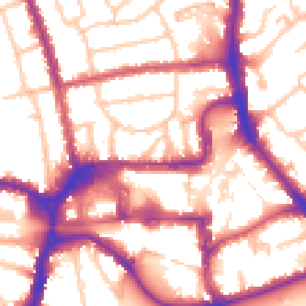
Daytime· 07:00 – 23:00
56.3dB

Night-time· 23:00 – 07:00
46.0dB