7 Betjeman Walk, Yateley, GU46 6YP
About 7 Betjeman Walk
7 Betjeman Walk is a three-bedroom semi-detached house in Yateley (GU46 6YP). It has a recorded floor area of 94 m² (around 1012 sq ft), construction records dating it to 1976-1982 and council tax band D. The latest certificate (March 2022) shows a C (score 70). The recommended improvements would push it to B (score 84). The home occupies a cul-de-sac position.
Across 1997–2022, sale prices on this property compounded at 6.7% per year. On a £-per-square-foot basis, the last sale (£484/sq ft) was about 70.5% above the typical sold price in the postcode. Last sale on file: £490,000 in August 2022. That sale was during the post-pandemic price surge, when transactions cleared materially above pre-2020 trend.
What this property has
Inside
- Bedrooms3
- Bathrooms1
Outside
- GarageYes
- Cul-de-sacYes
Building
- RefurbishedYes
Everything you need to know about 7 Betjeman Walk
The true value, the hidden risks and the full sale history, in one report.
30-day money-back guarantee

The data behind every report


Energy performance
EPC Rating
Planning history
7 Betjeman Walk has no planning applications on record.
The full report still covers planning activity across the surrounding area.
Sales history & valuation
Price for 7 Betjeman Walk has grown more than fourfold since the 1997 starting point.
£524,000
Modelled from EPC, postcode comparables and a sale-price growth of 6.7% per year over 25 years.
£490,000
Growth on file: 6.7% per year over 25 years.
Sales timeline
7 August 2022Most recent
£490,000
+96.0%over 14 years11 September 2007
£250,000
+106.6%over 8 years29 April 1999
£121,000
+27.4%over 2 years3 April 1997
£95,000
Median price across the last 5 sales in GU46 6YP: £450,000 (2025–2023).
Nearby sales in GU46 6YP
Versus other Betjeman Walk homes
7 Betjeman Walk outperforms the street on price per m² by a wide margin.
Price per m²
£5,213
Street avg £4,190
Floor Area
94 m²
Street avg 100 m²
Habitable Rooms
5 rooms
Street avg 6 rooms
CO₂ Emissions
3.3 t/year
Street avg 3.7 t/year
Everything you need to know about 7 Betjeman Walk
The true value, the hidden risks and the full sale history, in one report.
30-day money-back guarantee
The data behind every report
Similar properties nearby
The neighbourhood at a glance
Daytime road noise here sits well below conversation level — a quiet pocket of the postcode.
Crime
2/mo
Steady year-on-year across the wider district.
Nearest stop
0.2 km
Vigo Lane — bus stop.
Closest school
0.6 km
Newlands Primary School. 8 schools nearby.
Go deeper on the local area
The full report breaks down crime, transport links, schools and air quality in depth.
Road noise across the postcode
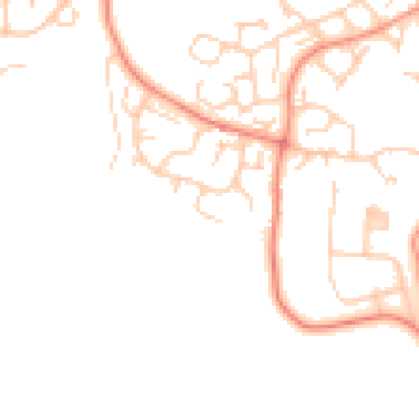
Daytime· 07:00 – 23:00
46.6dB

Night-time· 23:00 – 07:00
37.5dB