35a, Camp Road, Farnborough, GU14 6EN
About 35a
35a is a one-bedroom detached house in Farnborough (GU14 6EN). It has a recorded floor area of 28 m² (around 306 sq ft), construction records dating it to 1967-1975 and council tax band A. The latest certificate (February 2012) shows an F (score 30), near the bottom of the EPC scale. Earlier certificates rated it E (October 2008); the latest reading is one band lower. Between certificates, wall efficiency dropped from Good to Average and roof efficiency dropped from Good to Very Poor. The recommended improvements would push it to E (score 49). Main heating runs on electricity. The latest certificate is from February 2012, so improvements made since then won't be reflected.
At 28 m² it sits well below the postcode median (58 m² across 19 EPCs), making it one of the more compact homes locally. On energy efficiency it sits in the bottom 10% of properties in this postcode — significant headroom for improvement. Across 1997–2019, sale prices on this property compounded at -1.1% per year. Today's modelled estimate of £168,000 sits 124% above the 2019 sale of £75,000. 3 planning records sit against the property, 0 approved, 1 refused. Last sale on file: £75,000 in June 2019.
Know exactly what you're buying at 35a
Before you offer, see what the listing won't tell you, the true value, the red flags and the full history.
Already flagged here
Valuation
against the asking price
Risks
planning & flood
Sold prices
similar homes nearby
Trends
the local market
What this property has
Inside
- Bedrooms1
- Bathrooms1
Outside
- Private gardenYes
- ParkingYes
Building
- RefurbishedYes
Energy performance
35a sits at the bottom of the postcode for energy efficiency — meaningful headroom to improve.
EPC Expired
This certificate is over 10 years old and is no longer valid.Expired 24 Feb 2022
EPC Rating
Property Improvements
Changes detected from historical EPC data
Heating controls upgraded for better temperature management
Planning history
- Jan 2015AmendmentIn report
Certificate of Lawfulness for an Existing Use: Use of property as a single dwelling
- Agent
- T J Harding & Associates
- Documents
- 27 docs on file
- Reference
- 14/00956/EDCPP
- Oct 2014AmendmentIn report
Certificate of Lawfulness for an Existing Use: Use of property as a single dwelling
- Agent
- T J Harding & Associates
- Documents
- 11 docs on file
- Reference
- 14/00545/EDCPP
We flagged 2 things worth checking at 35a
Independent checks surfaced things a buyer would want to understand before offering. The report explains each one in full, with the underlying data and what to ask.
- Signs of HMO activity in the area
- Larger development activity nearby
30-day money-back guarantee
Sales history & valuation
35a's sale-price growth has lagged the wider UK trajectory across its history on file.
£168,000
Modelled from EPC, postcode comparables and a sale-price growth of -1.1% per year over 22 years.
£75,000
Growth on file: -1.1% per year over 22 years.
Sales timeline
5 June 2019Most recent
£75,000
+114.3%over 14 years19 November 2004
£35,000
-63.2%over 7 years17 July 1997
£95,000
Median price across the last 5 sales in GU14 6EN: £260,000 (2022–2019).
Nearby sales in GU14 6EN
Everything we know about 35a, in one report
What it's really worth, what could be wrong, and the planning, sales and area data in full.
What we flagged
- Signs of HMO activity in the area
- Larger development activity nearby

Versus other Camp Road homes
On epc rating, 35a runs well behind the street norm.
Price per m²
£2,642
Street avg £3,302
Floor Area
28 m²
Street avg 121 m²
Habitable Rooms
2 rooms
Street avg 5 rooms
CO₂ Emissions
3.7 t/year
Street avg 5.5 t/year
Similar properties nearby
1 Centrifuge Way
GU14 6GF
1 Alexandra Court, Alexandra Road
GU14 6BP
1 Briarleas Court, Morris Road
GU14 6HL
1 Bedford Court
GU14 6FN
1 Bowman House, Sopwith Drive
GU14 6GP
1 Cambridge Road West
GU14 6RW
1 Andrewartha Road
GU14 6PJ
1 Church Path
GU14 6DL
The neighbourhood at a glance
Crime
7/mo
Steady year-on-year across the wider district.
Nearest stop
0.2 km
Netley Street — bus stop.
Closest school
0.1 km
St Mark's Church of England Primary School. 17 schools nearby.
Go deeper on the local area
The full report breaks down crime, transport links, schools and air quality in depth.
Road noise across the postcode
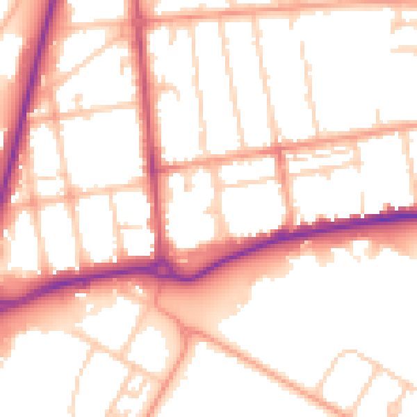
Daytime· 07:00 – 23:00
53.6dB

Night-time· 23:00 – 07:00
44.6dB