58 Barley Lane, Exeter, EX4 1TA
About 58 Barley Lane
58 Barley Lane is a property in Exeter (EX4 1TA). It has council tax band F.
Held since June 2004 — that's 22 years off the open market, well above the local norm.
Know exactly what you're buying at 58 Barley Lane
Before you offer, see what the listing won't tell you, the true value, the red flags and the full history.
Already flagged here
Valuation
against the asking price
Risks
planning & flood
Sold prices
similar homes nearby
Trends
the local market
Energy performance
No EPC on record
This property doesn't have an Energy Performance Certificate yet. An EPC is required to sell or let — and unlocks our automated valuation.
Planning history
58 Barley Lane has no planning applications on record.
Notable planning nearby
6applications of note in the surrounding area
We flagged 2 things worth checking at 58 Barley Lane
Independent checks surfaced things a buyer would want to understand before offering. The report explains each one in full, with the underlying data and what to ask.
- Signs of HMO activity in the area
- Larger development activity nearby
30-day money-back guarantee
Sales history & valuation
£282,000
Recorded with HM Land Registry.
Sales timeline
29 June 2004Most recent
£282,000
Median price across the last 5 sales in EX4 1TA: £625,000 (2025–2022).
Everything we know about 58 Barley Lane, in one report
What it's really worth, what could be wrong, and the planning, sales and area data in full.
What we flagged
- Signs of HMO activity in the area
- Larger development activity nearby

Similar properties nearby
1 Barley Villas, Redhills
EX4 1SX
1 Dunsford Gardens
EX4 1LL
1 Croft Chase
EX4 1TB
1 Berkshire Drive
EX4 1NE
1 Cadogan Court House, Barley Lane
EX4 1TA
1 Antonine Crescent
EX4 1SP
1 Dunsford Road
EX4 1LF
1 Barley Mews, Isleworth Road
EX4 1RG
The neighbourhood at a glance
Daytime road noise here sits well below conversation level — a quiet pocket of the postcode.
Crime
12/mo
Steady year-on-year across the wider district.
Nearest stop
0.1 km
Croft Chase — bus stop.
Closest school
0.8 km
Bowhill Primary School. 12 schools nearby.
Go deeper on the local area
The full report breaks down crime, transport links, schools and air quality in depth.
Road noise across the postcode
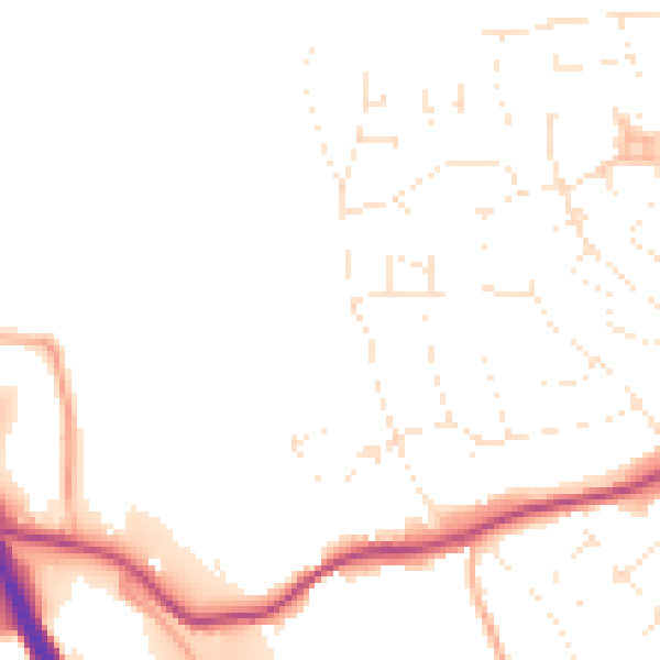
Daytime· 07:00 – 23:00
48.5dB

Night-time· 23:00 – 07:00
39.2dB