7 Arbour Road, Enfield, EN3 7TX
About 7 Arbour Road
7 Arbour Road is a mid-terrace house in Enfield (EN3 7TX). It has a recorded floor area of 87 m² (around 936 sq ft), construction records dating it to 1950-1966 and council tax band D. The latest certificate (June 2021) shows a C (score 72). When first surveyed in November 2008 the rating was D, the property has climbed 1 band since. Between certificates, roof efficiency went from Average to Good and lighting went from Poor to Very Good; while wall efficiency dropped from Good to Poor. The recommended improvements would push it to B (score 88).
Held since October 2004 — that's 22 years off the open market, well above the local norm. Today's modelled estimate of £428,000 sits 106.3% above the 2004 sale of £207,500. Its energy rating outperforms most of the postcode (better than 74% of similar EPCs).
Everything you need to know about 7 Arbour Road
The true value, the hidden risks and the full sale history, in one report.
30-day money-back guarantee

The data behind every report


Energy performance
EPC Rating
Property Improvements
Changes detected from historical EPC data
Heating controls upgraded for better temperature management
Roof insulation improved
Ventilation system changed
Solar water heating installed
Roof insulation improved
More low energy lighting installed
Planning history
7 Arbour Road has no planning applications on record.
Notable planning nearby
30applications of note in the surrounding area
We flagged 2 things worth checking at 7 Arbour Road
Independent checks surfaced things a buyer would want to understand before offering. The report explains each one in full, with the underlying data and what to ask.
- Signs of HMO activity in the area
- Larger development activity nearby
30-day money-back guarantee
Sales history & valuation
7 Arbour Road valuation sits well clear of the typical sold price in this postcode.
£428,000
Modelled from EPC, postcode comparables.
£207,500
Recorded with HM Land Registry.
Sales timeline
28 October 2004Most recent
£207,500
Median price across the last 5 sales in EN3 7TX: £395,000 (2021–2016).
Versus other Arbour Road homes
On epc rating, 7 Arbour Road stands well clear of the street.
Price per m²
£2,385
Street avg £3,374
Floor Area
87 m²
Street avg 94 m²
Habitable Rooms
4 rooms
Street avg 5 rooms
CO₂ Emissions
2.6 t/year
Street avg 3.8 t/year
Everything you need to know about 7 Arbour Road
The true value, the hidden risks and the full sale history, in one report.
30-day money-back guarantee
The data behind every report
Similar properties nearby
The neighbourhood at a glance
Rail-style transport is unusually close for this postcode.
Crime
8/mo
Rising year-on-year across the wider district.
Nearest stop
0.4 km
Alexandra Road Durants Road — bus stop.
Closest school
0.4 km
St Mary's Catholic Primary School. 41 schools nearby.
Go deeper on the local area
The full report breaks down crime, transport links, schools and air quality in depth.
Road noise across the postcode
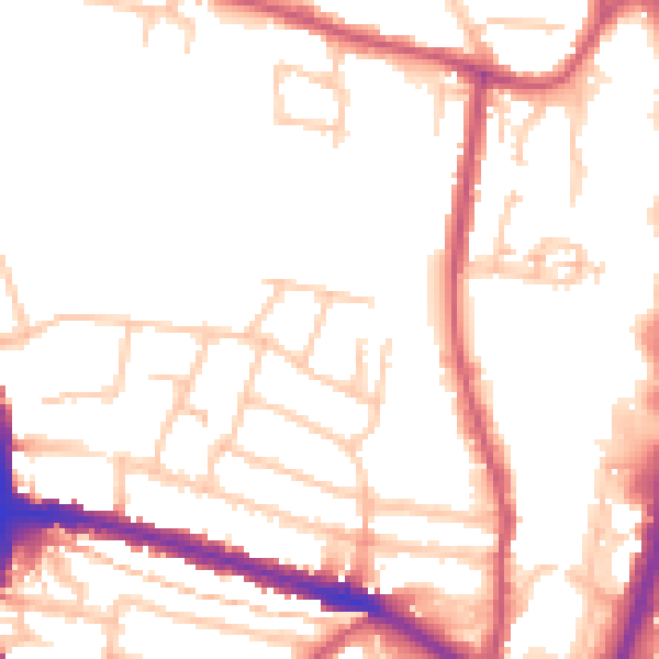
Daytime· 07:00 – 23:00
52.2dB

Night-time· 23:00 – 07:00
41.4dB