75 Catisfield Road, Enfield, EN3 6BB
About 75 Catisfield Road
75 Catisfield Road is a three-bedroom mid-terrace house in Enfield (EN3 6BB). It has a recorded floor area of 86 m² (around 926 sq ft), construction records dating it to 1900-1929 and council tax band D. The latest certificate (February 2022) shows an E (score 54), well below the UK norm with real room to improve. The recommended improvements would lift it to B (score 84), a 3-band jump.
On energy efficiency it sits in the bottom 10% of properties in this postcode — significant headroom for improvement. On a £-per-square-foot basis, the last sale (£454/sq ft) was about 129.7% above the typical sold price in the postcode. Most recent transfer: July 2022 at £420,000. That sale was during the post-pandemic price surge, when transactions cleared materially above pre-2020 trend.
What this property has
Inside
- Bedrooms3
- Bathrooms1
- Dining roomYes
- CloakroomYes
Outside
- Private gardenRear
Building
- Heating systemGas
- RefurbishedYes
Everything you need to know about 75 Catisfield Road
The true value, the hidden risks and the full sale history, in one report.
30-day money-back guarantee

The data behind every report


Energy performance
75 Catisfield Road sits at the bottom of the postcode for energy efficiency — meaningful headroom to improve.
EPC Rating
Planning history
75 Catisfield Road has no planning applications on record.
Notable planning nearby
52applications of note in the surrounding area
We flagged 1 thing worth checking at 75 Catisfield Road
Independent checks surfaced things a buyer would want to understand before offering. The report explains each one in full, with the underlying data and what to ask.
- Signs of HMO activity in the area
30-day money-back guarantee
Sales history & valuation
Latest sale on 75 Catisfield Road was the highest on Land Registry record across the postcode.
£455,000
Modelled from EPC, postcode comparables.
£420,000
Recorded with HM Land Registry.
Sales timeline
7 July 2022Most recent
£420,000
Median price across the last 5 sales in EN3 6BB: £380,000 (2023–2021).
Nearby sales in EN3 6BB
Versus other Catisfield Road homes
Price per m² for 75 Catisfield Road runs comfortably ahead of the street norm.
Price per m²
£4,884
Street avg £3,235
Floor Area
86 m²
Street avg 89 m²
Habitable Rooms
4 rooms
Street avg 5 rooms
CO₂ Emissions
4.4 t/year
Street avg 3.8 t/year
Everything you need to know about 75 Catisfield Road
The true value, the hidden risks and the full sale history, in one report.
30-day money-back guarantee
The data behind every report
Similar properties nearby
The neighbourhood at a glance
Rail-style transport is unusually close for this postcode.
Crime
8/mo
Rising year-on-year across the wider district.
Nearest stop
0.1 km
Malvern Road (EN3) — bus stop.
Closest school
0.1 km
Chesterfield Primary School. 33 schools nearby.
Go deeper on the local area
The full report breaks down crime, transport links, schools and air quality in depth.
Road noise across the postcode
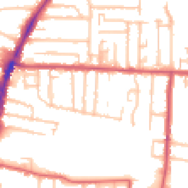
Daytime· 07:00 – 23:00
52.1dB

Night-time· 23:00 – 07:00
42.6dB