483 Hertford Road, Enfield, EN3 5UT
About 483 Hertford Road
483 Hertford Road is a two-bedroom mid-terrace house in Enfield (EN3 5UT). It has a recorded floor area of 75 m² (around 807 sq ft), construction records dating it to 1950-1966 and council tax band D. The latest certificate (September 2018) shows a D (score 65), on the cusp of jumping into the C band. The recommended improvements would lift it to B (score 87), a 2-band jump.
Untraded for 20 years, with the last transfer in July 2006. Today's modelled estimate of £381,000 sits 117.7% above the 2006 sale of £175,000. On a £-per-square-foot basis, the last sale (£217/sq ft) was about 22.5% above the typical sold price in the postcode.
What this property has
Inside
- Bedrooms2
- Bathrooms1
Everything you need to know about 483 Hertford Road
The true value, the hidden risks and the full sale history, in one report.
30-day money-back guarantee

The data behind every report


Energy performance
Recommended upgrades on file would lift this property by multiple EPC bands.
EPC Rating
Planning history
483 Hertford Road has no planning applications on record.
Notable planning nearby
24applications of note in the surrounding area
We flagged 2 things worth checking at 483 Hertford Road
Independent checks surfaced things a buyer would want to understand before offering. The report explains each one in full, with the underlying data and what to ask.
- Signs of HMO activity in the area
- Larger development activity nearby
30-day money-back guarantee
Sales history & valuation
483 Hertford Road valuation sits well clear of the typical sold price in this postcode.
£381,000
Modelled from EPC, postcode comparables.
£175,000
Recorded with HM Land Registry.
Sales timeline
27 July 2006Most recent
£175,000
Median price across the last 5 sales in EN3 5UT: £305,000 (2024–2008).
Nearby sales in EN3 5UT
Versus other Hertford Road homes
483 Hertford Road outperforms the street on habitable rooms by a wide margin.
Price per m²
£2,333
Street avg £2,271
Floor Area
75 m²
Street avg 81 m²
Habitable Rooms
5 rooms
Street avg 4 rooms
CO₂ Emissions
3.2 t/year
Street avg 3.6 t/year
Everything you need to know about 483 Hertford Road
The true value, the hidden risks and the full sale history, in one report.
30-day money-back guarantee
The data behind every report
Similar properties nearby
The neighbourhood at a glance
Rail-style transport is unusually close for this postcode.
Crime
8/mo
Rising year-on-year across the wider district.
Nearest stop
0.1 km
Ingersoll Road — bus stop.
Closest school
0.3 km
Eastfield Primary School. 41 schools nearby.
Go deeper on the local area
The full report breaks down crime, transport links, schools and air quality in depth.
Road noise across the postcode
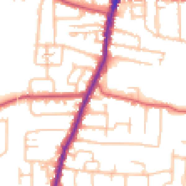
Daytime· 07:00 – 23:00
51.9dB
Night-time· 23:00 – 07:00
42.0dB