22 St Stephens Road, Enfield, EN3 5UJ
About 22 St Stephens Road
22 St Stephens Road is a two-bedroom detached house in Enfield (EN3 5UJ). It has a recorded floor area of 43 m² (around 463 sq ft), construction records dating it to 2007 onwards and council tax band C. The latest certificate (July 2023) shows a D (score 63), on the cusp of jumping into the C band. Earlier certificates rated it C (November 2012); the latest reading is one band lower. Between certificates, lighting went from Very Poor to Very Good; while wall efficiency dropped from Good to Poor and roof efficiency dropped from Good to Very Poor. The recommended improvements would push it to C (score 74). At 43 m² this is the 3rd smallest of 43 units on EPC record in the building, where floor areas span 40–102 m². The building's EPC ratings span E to B across 43 units on file.
Untraded for 22 years, with the last transfer in September 2004. Today's modelled estimate of £277,000 sits 62% above the 2004 sale of £171,000. On a £-per-square-foot basis, the last sale (£369/sq ft) was about 71% above the typical sold price in the postcode. At 43 m² it sits well below the postcode median (64 m² across 42 EPCs), making it one of the more compact homes locally.
What this property has
Inside
- Bedrooms2
- Bathrooms1
Everything you need to know about 22 St Stephens Road
The true value, the hidden risks and the full sale history, in one report.
30-day money-back guarantee

The data behind every report


Energy performance
EPC Rating
Property Improvements
Changes detected from historical EPC data
Heating system changed
Changed to a more efficient fuel source
Hot water system changed
Hot water efficiency decreased
External or internal wall insulation added
Roof insulation improved
More low energy lighting installed
Heating system changed
Hot water efficiency improved
Upgraded to gas central heating
Connected to mains gas supply
Heating controls changed
Hot water system upgraded
Low energy lighting percentage decreased
Planning history
22 St Stephens Road has no planning applications on record.
Notable planning nearby
24applications of note in the surrounding area
We flagged 2 things worth checking at 22 St Stephens Road
Independent checks surfaced things a buyer would want to understand before offering. The report explains each one in full, with the underlying data and what to ask.
- Signs of HMO activity in the area
- Larger development activity nearby
30-day money-back guarantee
Sales history & valuation
22 St Stephens Road valuation sits well clear of the typical sold price in this postcode.
£277,000
Modelled from EPC, postcode comparables.
£171,000
Recorded with HM Land Registry.
Sales timeline
16 September 2004Most recent
£171,000
Median price across the last 5 sales in EN3 5UJ: £354,995 (2022–2018).
Nearby sales in EN3 5UJ
36 St Stephens Road, Enfield, EN3 5UJ
Sold Mar 2022
£249,99518 St Stephens Road, Enfield, EN3 5UJ
Sold Mar 2022
£380,00056 St Stephens Road, Enfield, EN3 5UJ
Sold May 2021
£354,9952c, Flat 2, St Stephens Road, Enfield, EN3 5UJ
Sold Dec 2019
£255,00094 St Stephens Road, Enfield, EN3 5UJ
Sold Nov 2018
£1,040,000
Versus other St Stephens Road homes
On floor area, 22 St Stephens Road runs well behind the street norm.
Price per m²
£3,977
Street avg £4,353
Floor Area
43 m²
Street avg 58 m²
Habitable Rooms
3 rooms
Street avg 3 rooms
CO₂ Emissions
2.3 t/year
Street avg 2.2 t/year
Everything you need to know about 22 St Stephens Road
The true value, the hidden risks and the full sale history, in one report.
30-day money-back guarantee
The data behind every report
Similar properties nearby
The neighbourhood at a glance
Rail-style transport is unusually close for this postcode.
Crime
8/mo
Rising year-on-year across the wider district.
Nearest stop
0.2 km
Turkey Street Station — bus stop.
Closest school
0.4 km
Eastfield Primary School. 38 schools nearby.
Go deeper on the local area
The full report breaks down crime, transport links, schools and air quality in depth.
Road noise across the postcode
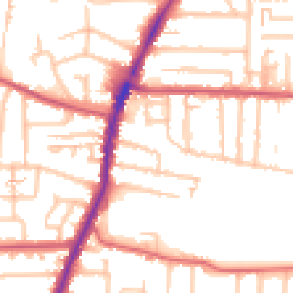
Daytime· 07:00 – 23:00
52.7dB

Night-time· 23:00 – 07:00
43.1dB