15 Garfield Road, Enfield, EN3 4RP
About 15 Garfield Road
15 Garfield Road is a two-bedroom mid-terrace house in Enfield (EN3 4RP). It has a recorded floor area of 87 m² (around 936 sq ft), construction records dating it to 1900-1929 and council tax band C. Tenure is freehold. The latest certificate (November 2020) shows a D (score 60), on the cusp of jumping into the C band. The recommended improvements would push it to C (score 77).
At 87 m² it's 16% larger than the typical home in the postcode (75 m² median across 29 EPCs). Across 2021–2024, sale prices on this property compounded at 0.7% per year. Today's modelled estimate of £421,000 is 15.3% above the 2024 sale price. On a £-per-square-foot basis, the last sale (£390/sq ft) was about 88.8% above the typical sold price in the postcode. Sold January 2024 for £365,000.
What this property has
Inside
- Bedrooms2
- Bathrooms2
- Dining roomYes
- EnsuiteYes
Outside
- Private gardenYes
Building
- TenureFreehold
Everything you need to know about 15 Garfield Road
The true value, the hidden risks and the full sale history, in one report.
30-day money-back guarantee

The data behind every report


Energy performance
EPC Rating
Planning history
15 Garfield Road has no planning applications on record.
Notable planning nearby
39applications of note in the surrounding area
We flagged 1 thing worth checking at 15 Garfield Road
Independent checks surfaced things a buyer would want to understand before offering. The report explains each one in full, with the underlying data and what to ask.
- Signs of HMO activity in the area
30-day money-back guarantee
Sales history & valuation
15 Garfield Road valuation sits well clear of the typical sold price in this postcode.
£421,000
Modelled from EPC, postcode comparables and a sale-price growth of 0.7% per year over 3 years.
£365,000
Growth on file: 0.7% per year over 3 years.
Sales timeline
25 January 2024Most recent
£365,000
+2.0%over 2 years26 February 2021
£358,000
Median price across the last 5 sales in EN3 4RP: £370,000 (2025–2016).
Versus other Garfield Road homes
15 Garfield Road is notably below the street on years held.
Price per m²
£4,195
Street avg £2,503
Floor Area
87 m²
Street avg 84 m²
Habitable Rooms
5 rooms
Street avg 5 rooms
CO₂ Emissions
4.1 t/year
Street avg 3.8 t/year
Everything you need to know about 15 Garfield Road
The true value, the hidden risks and the full sale history, in one report.
30-day money-back guarantee
The data behind every report
Similar properties nearby
The neighbourhood at a glance
Rail-style transport is unusually close for this postcode.
Crime
8/mo
Rising year-on-year across the wider district.
Nearest stop
0.1 km
Southbury Road Ponders End — bus stop.
Closest school
0.4 km
Southbury Primary School. 46 schools nearby.
Go deeper on the local area
The full report breaks down crime, transport links, schools and air quality in depth.
Road noise across the postcode
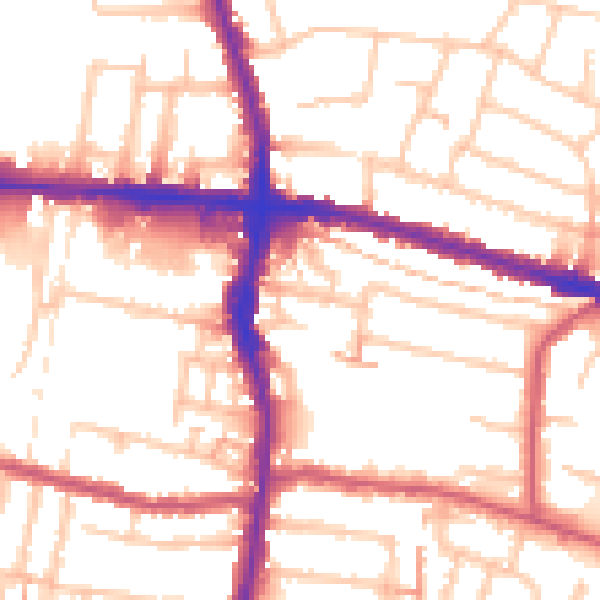
Daytime· 07:00 – 23:00
54.4dB

Night-time· 23:00 – 07:00
43.6dB