21 Clydesdale, Enfield, EN3 4RJ
About 21 Clydesdale
21 Clydesdale is an end-of-terrace house in Enfield (EN3 4RJ). It has a recorded floor area of 108 m² (around 1163 sq ft), construction records dating it to 1930-1949 and council tax band D. The latest certificate (March 2023) shows a D (score 55), a step below the typical UK home. The recommended improvements would push it to C (score 78).
At 108 m² the property is well over the postcode median (83 m² across 30 EPCs), placing it in the larger end of the local stock. One planning record on file: change of use to residential approved in 2026. Past consents include change of use to residential, meaningful when judging how the property has evolved. Across 1999–2024, sale prices on this property compounded at 5.8% per year. On a £-per-square-foot basis, the last sale (£465/sq ft) was about 58.3% above the typical sold price in the postcode. Sold June 2024 for £540,000.
Everything you need to know about 21 Clydesdale
The true value, the hidden risks and the full sale history, in one report.
30-day money-back guarantee

The data behind every report


Energy performance
EPC Rating
Planning history
- Mar 2026Change of UseOutlineIn report
Change of use from Use Class C3 (dwelling house) to Use Class C2 (Children's home).
- Agent
- Planners & Architects
- Documents
- 8 docs on file
- Reference
- 26/00250/CEA
We flagged 1 thing worth checking at 21 Clydesdale
Independent checks surfaced things a buyer would want to understand before offering. The report explains each one in full, with the underlying data and what to ask.
- Signs of HMO activity in the area
30-day money-back guarantee
Sales history & valuation
21 Clydesdale has more than quadrupled in price since its earliest registered sale in 1999.
£501,000
Modelled from EPC, postcode comparables and a sale-price growth of 5.8% per year over 25 years.
£540,000
Growth on file: 5.8% per year over 25 years.
Sales timeline
23 June 2024Most recent
£540,000
+300.0%over 24 years14 October 1999
£135,000
Median price across the last 5 sales in EN3 4RJ: £450,000 (2025–2022).
Versus other Clydesdale homes
On co₂ emissions, 21 Clydesdale runs well behind the street norm.
Price per m²
£5,000
Street avg £3,836
Floor Area
108 m²
Street avg 92 m²
Habitable Rooms
7 rooms
Street avg 5 rooms
CO₂ Emissions
5.5 t/year
Street avg 3.6 t/year
Everything you need to know about 21 Clydesdale
The true value, the hidden risks and the full sale history, in one report.
30-day money-back guarantee
The data behind every report
Similar properties nearby
The neighbourhood at a glance
Rail-style transport is unusually close for this postcode.
Crime
8/mo
Rising year-on-year across the wider district.
Nearest stop
0.1 km
Royal British Legion — bus stop.
Closest school
0.2 km
St Mary's Catholic Primary School. 44 schools nearby.
Go deeper on the local area
The full report breaks down crime, transport links, schools and air quality in depth.
Road noise across the postcode
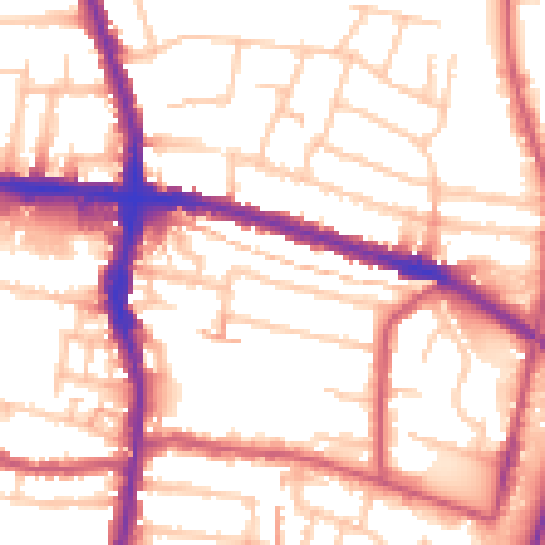
Daytime· 07:00 – 23:00
55.1dB
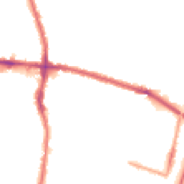
Night-time· 23:00 – 07:00
44.4dB