20a, Ashbourne Road, Broxbourne, EN10 7DF
About 20a
20a is a semi-detached house in Broxbourne (EN10 7DF). It has a recorded floor area of 84 m² (around 904 sq ft), construction records dating it to 2003-2006 and council tax band E. The latest certificate (April 2021) shows a C (score 78), near the top of the C band. Earlier certificates rated it B (October 2008); the latest reading is one band lower. The recommended improvements would push it to B (score 89).
At 84 m² it's 24.7% smaller than the typical home in the postcode (112 m² median across 14 EPCs).
Everything you need to know about 20a
The true value, the hidden risks and the full sale history, in one report.
30-day money-back guarantee

The data behind every report


Energy performance
EPC Rating
Property Improvements
Changes detected from historical EPC data
More low energy lighting installed
Hot water efficiency decreased
More low energy lighting installed
Planning history
20a has no planning applications on record.
Notable planning nearby
2applications of note in the surrounding area
We flagged 1 thing worth checking at 20a
Independent checks surfaced things a buyer would want to understand before offering. The report explains each one in full, with the underlying data and what to ask.
- Larger development activity nearby
30-day money-back guarantee
Sales history & valuation
20a has no Land Registry sales on file, suggesting it has stayed in the same hands since registration began.
£504,000
Modelled from EPC, postcode comparables.
No sales recorded with HM Land Registry
That can mean the property has never traded since the registry began publishing in 1995, was a new build that hasn't been registered yet, or is held in the same hands long-term.
Median price across the last 5 sales in EN10 7DF: £680,000 (2024–2020).
Nearby sales in EN10 7DF
Versus other Ashbourne Road homes
20a outperforms the street on epc rating by a wide margin.
EPC Rating
78 (C)
Street avg 66 (D)
Floor Area
84 m²
Street avg 124 m²
CO₂ Emissions
1.9 t/year
Street avg 4.6 t/year
Habitable Rooms
5 rooms
Street avg 6 rooms
Everything you need to know about 20a
The true value, the hidden risks and the full sale history, in one report.
30-day money-back guarantee
The data behind every report
Similar properties nearby
The neighbourhood at a glance
Rail-style transport is unusually close for this postcode.
Crime
3/mo
Steady year-on-year across the wider district.
Nearest stop
0.2 km
Grenville Avenue — bus stop.
Closest school
0.3 km
The Broxbourne School. 11 schools nearby.
Go deeper on the local area
The full report breaks down crime, transport links, schools and air quality in depth.
Road noise across the postcode
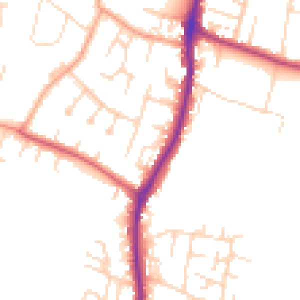
Daytime· 07:00 – 23:00
50.4dB

Night-time· 23:00 – 07:00
41.4dB